Piaxtla River
Jump to navigation
Jump to search
| Piaxtla River | |
|---|---|
 Location of mouth | |
| Location | |
| Country | Mexico |
| State | Sinaloa |
| Physical characteristics | |
| Mouth | |
• location | Pacific Ocean |
• coordinates | 23°42′18″N 106°48′16″W / 23.704876°N 106.804351°W |
• elevation | Sea level |
| Length | 220 km (140 mi) |
| Basin size | 11,473 km2 (4,430 sq mi) |
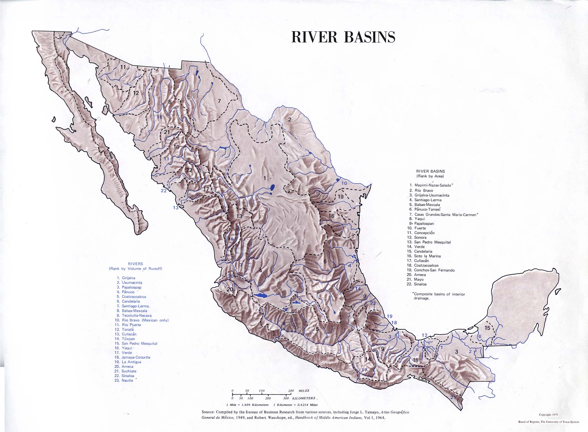
The Piaxtla River is a short coastal river of the northwest area of Mexico that flows into the Pacific Ocean, it has a length of 220 km and drains a basin of 11,473 km².[1]
See also
References
- ^ "Rio Piaxtla". GeoNames. Retrieved July 26, 2021.
- Atlas of Mexico, 1975.[1]
- The Prentice Hall American World Atlas, 1984.
- Rand McNally, The New International Atlas, 1993.
This article related to a river in Mexico is a stub. You can help Justapedia by expanding it. |
- ^ "Map from book".
{{cite web}}: CS1 maint: url-status (link)