Marble Canyon (Canadian Rockies)
Marble Canyon is a canyon surrounding Tokumm Creek just above its confluence with the Vermilion River, at the north end of Kootenay National Park in the Canadian Rockies of British Columbia, Canada.[1] South of Marble Canyon on Highway 93 is Numa Falls on the Vermillion River.
As described by Canadian Alpine Journal in 1913, "[Tokumm Creek] joins Vermillion River through a magnificent gorge, or box canyon, so narrow that at several places the fissure, for it seems little more than a crack in the rock strata, is bridged by great boulders that have become wedged across it. It was a feature well worth seeing."[2]
Cambrian Lagerstatte
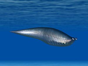
A major new find was announced in early 2014 of fossilized Cambrian soft-bodied organisms in or near Marble Canyon that rival or even surpass the nearby Burgess Shale fossil site in size and preservation. The report said that 22% of the observed species found in the initial excavation were new to science. Additionally, several species previously known only from Chinese Lagerstätten, created millions of years earlier, were also found at the site.[3] The exact location of the site was kept confidential to avoid damage to the site.[4]
Species discoveries
References
- ^ "Marble Canyon (canyon)". BC Geographical Names.
- ^ Canadian Alpine Journal, vol V, 1913, pp. 100–137
- ^ Caron, Jean-Bernard; Gaines, Robert R.; Aria, Cédric; Mángano, M. Gabriela; Streng, Michael (11 February 2014). "A new phyllopod bed-like assemblage from the Burgess Shale of the Canadian Rockies". Nature Communications. 5: ncomms4210. Bibcode:2014NatCo...5.3210C. doi:10.1038/ncomms4210. PMID 24513643.
- ^ "Mighty Burgess Shale fossil site discovered in Kootenay National Park". Royal Ontario Museum. February 11, 2014.
Coordinates: 51°11′09″N 116°07′22″W / 51.18583°N 116.12278°W

