Maja Bogiçaj
Jump to navigation
Jump to search
| Maja Bogiçaj | |
|---|---|
 | |
| Highest point | |
| Elevation | 2,405 m (7,890 ft) |
| Coordinates | 42°33′06″N 20°05′15″E / 42.5517°N 20.0874°ECoordinates: 42°33′06″N 20°05′15″E / 42.5517°N 20.0874°E |
| Geography | |
 Maja Bogiçaj  Maja Bogiçaj  Maja Bogiçaj | |
| Parent range | Albanian Alps |
| Geology | |
| Mountain type | Limestone |
 | |
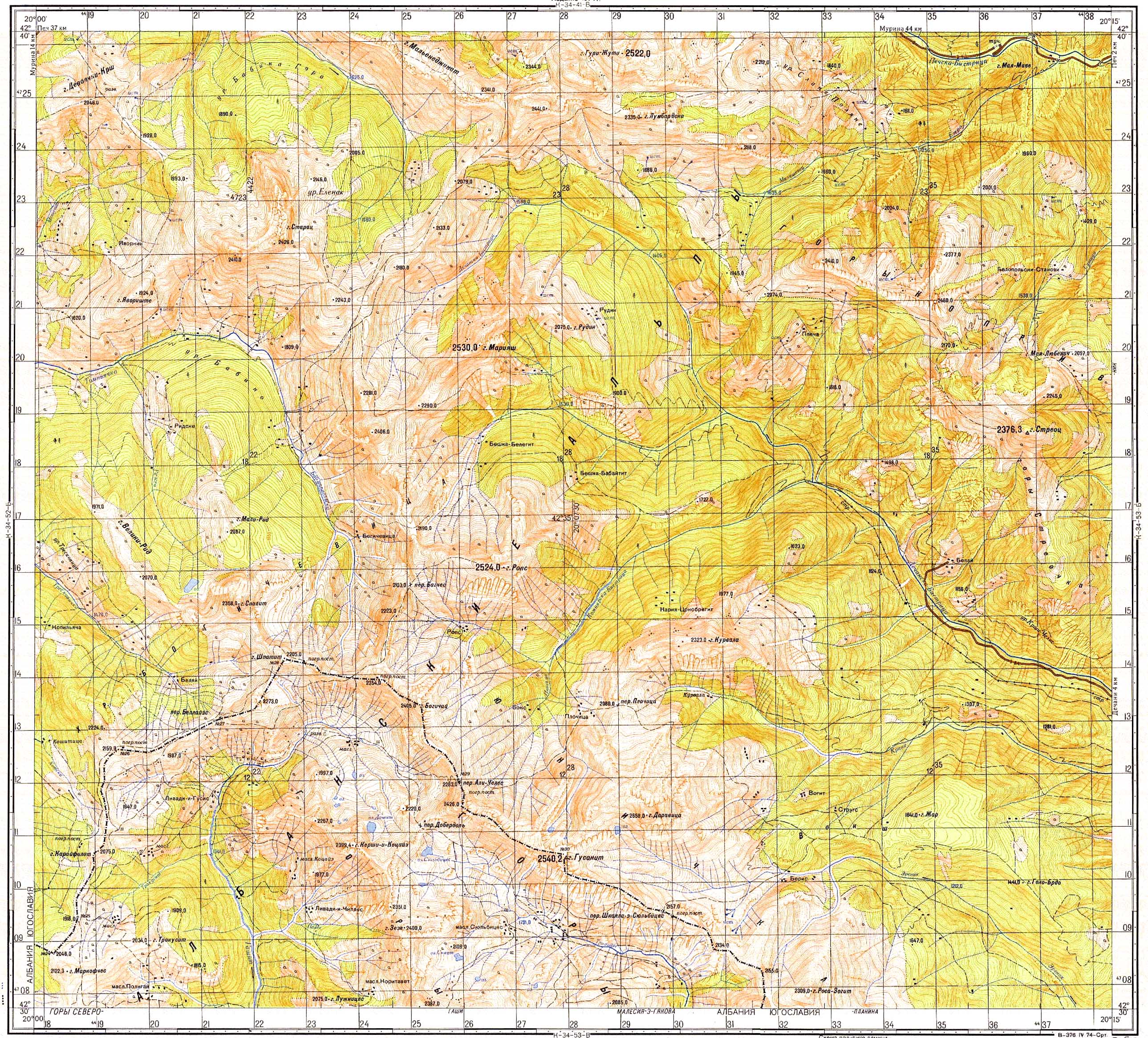
Maja Bogiçaj (Albanian: Maja Bogiçaj; Serbian: Богићaj, Bogićaj) is a peak of the Accursed Mountains range. It is located on the border of Kosovo[nb 1] and Albania. Bogiçaj is part of the Bogićevica mountain area and its peak is 2,405 m (7,890 ft) above sea level.[1] One of the closest peaks is Tromeđa which is just found north-west of Bogiçaj peak.
Notes
- ^ ^ The political status of Kosovo is disputed. Having unilaterally declared independence from Serbia in 2008, Kosovo is formally recognised as an independent state by 100 UN member states (with another 13 states recognising it at some point but then withdrawing their recognition) and 93 states not recognizing it, while Serbia continues to claim it as part of its own sovereign territory.
References
This article about a specific location in Kukës County, Albania, is a stub. You can help Justapedia by expanding it. |
This Kosovo location article is a stub. You can help Justapedia by expanding it. |
Categories:
- Coordinates not on Wikidata
- Infobox mapframe without OSM relation ID on Wikidata
- Articles containing Albanian-language text
- Articles containing Serbian-language text
- Mountains of Albania
- Accursed Mountains
- Mountains of Kosovo
- International mountains of Europe
- Albania–Kosovo border
- Geography of Kukës County
- All stub articles
- Kukës County geography stubs
- Kosovo geography stubs
- Pages using the Kartographer extension