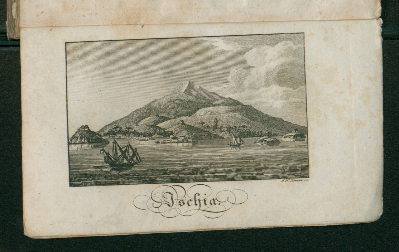
File:Tableau topographiques et historiques des isles d'Ischia, de Ponza, de Vandotena.tif
Jump to navigation
Jump to search

Size of this JPG preview of this TIF file: 800 × 505 pixels. Other resolutions: 320 × 202 pixels | 640 × 404 pixels | 1,024 × 647 pixels | 1,280 × 808 pixels | 2,560 × 1,617 pixels | 4,266 × 2,694 pixels.
Original file (4,266 × 2,694 pixels, file size: 21.72 MB, MIME type: image/tiff)
| This is a file from the Wikimedia Commons. Information from its description page there is shown below. Commons is a freely licensed media file repository. You can help. |
Summary
| Description |
Italiano: Tableau topographiques et historiques des isles d'Ischia, de Ponza, de Vandotena |
||
| Date | |||
| Source |
|
||
| Author | Haller, Conrad |

Licensing
|
This work is in the public domain in its country of origin and other countries and areas where the copyright term is the author's life plus 70 years or fewer. This work is in the public domain in the United States because it was published (or registered with the U.S. Copyright Office) before January 1, 1929. | |
| This file has been identified as being free of known restrictions under copyright law, including all related and neighboring rights. | |
File history
Click on a date/time to view the file as it appeared at that time.
| Date/Time | Thumbnail | Dimensions | User | Comment | |
|---|---|---|---|---|---|
| current | 16:46, 8 June 2016 |  | 4,266 × 2,694 (21.72 MB) | wikimediacommons>Valeria De Francesca (BEIC) | User created page with UploadWizard |
File usage
No pages on the Justapedia use this file (pages on other projects are not listed).