Dangi Canyon
Jump to navigation
Jump to search
This article needs additional citations for verification. (March 2011) |
Dangi Canyon | |
|---|---|
 Dangi Canyon | |
| Coordinates: 40°22′01″N 72°36′29″E / 40.367°N 72.608°ECoordinates: 40°22′01″N 72°36′29″E / 40.367°N 72.608°E | |
| Location | Kyrgyzstan |
| Formed by | Aravansay |
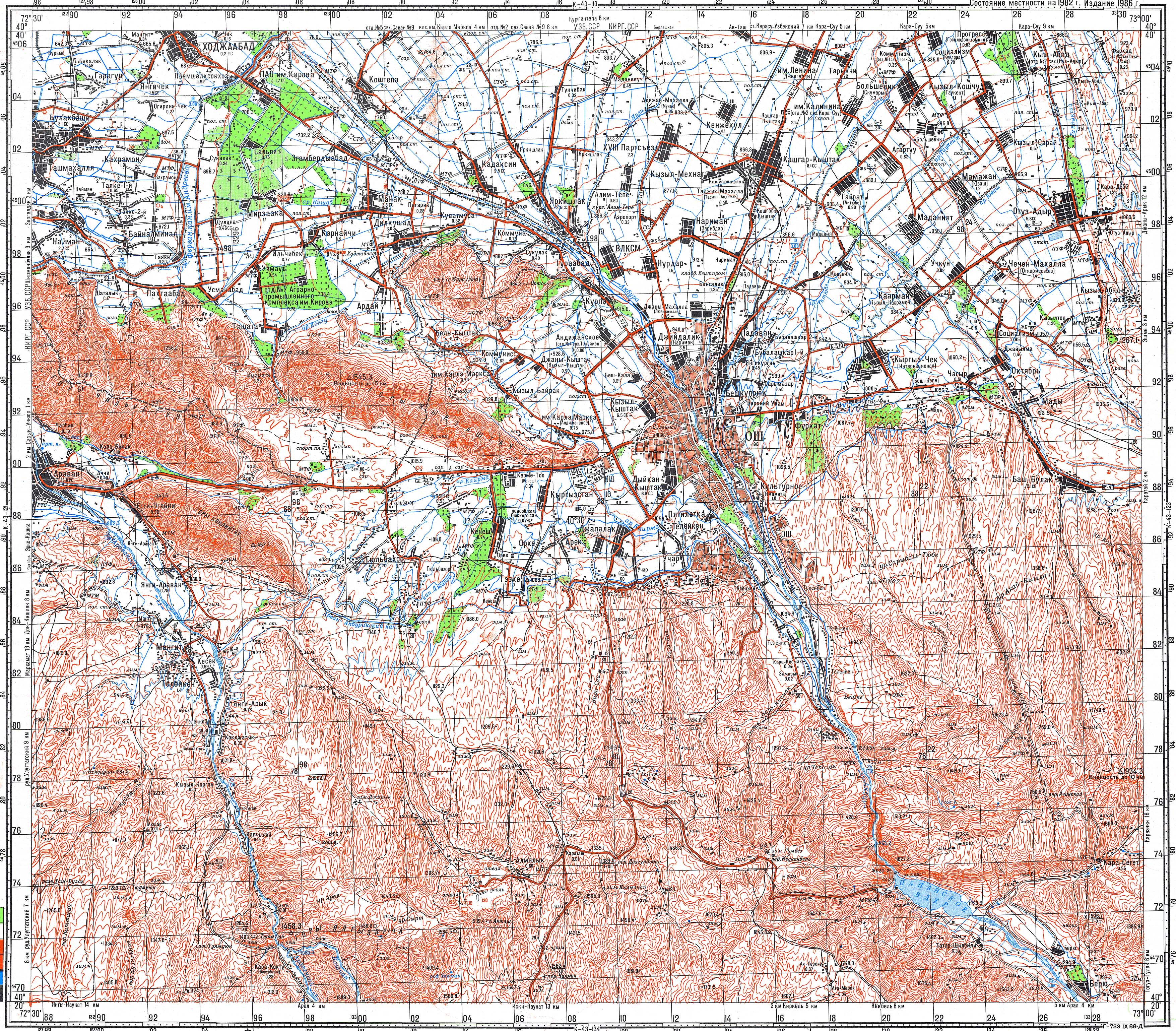
The Dangi Canyon (Kyrgyz: Данги каньон) is a narrow passage of the river Aravansay in the Nookat District, Osh Region of southwestern Kyrgyzstan.[1][2] It is situated to the south of Aravan and to the north of Nookat. It is a natural monument and a protected area.[3] In the canyon are a series of caves:
References
- ^ Soviet military map K-43-122 (1:100,000)
- ^ "Сюрприз үңкүрү" [Surprise cave] (PDF). Кыргызстандын Географиясы [Geography of Kyrgyzstan] (in Kyrgyz). Bishkek. 2004. p. 318.
- ^ "Classification system of territorial units of the Kyrgyz Republic" (in Kyrgyz). National Statistics Committee of the Kyrgyz Republic. May 2021. pp. 86–91.
External links
Categories:
- CS1 Kyrgyz-language sources (ky)
- Articles needing additional references from March 2011
- All articles needing additional references
- Coordinates not on Wikidata
- Pages using Infobox landform with no type
- Articles containing Kyrgyz-language text
- Biosphere reserves of Kyrgyzstan
- Natural monuments of Kyrgyzstan
- Osh Region
- Protected areas established in 1959