File:Vukovar-Srijem County OpenStreetMap.svg
Jump to navigation
Jump to search

Size of this PNG preview of this SVG file: 735 × 599 pixels. Other resolutions: 294 × 240 pixels | 589 × 480 pixels | 942 × 768 pixels | 1,256 × 1,024 pixels | 2,511 × 2,048 pixels | 2,488 × 2,029 pixels.
Original file (SVG file, nominally 2,488 × 2,029 pixels, file size: 24.9 MB)
| This is a file from the Wikimedia Commons. Information from its description page there is shown below. Commons is a freely licensed media file repository. You can help. |
| Description |
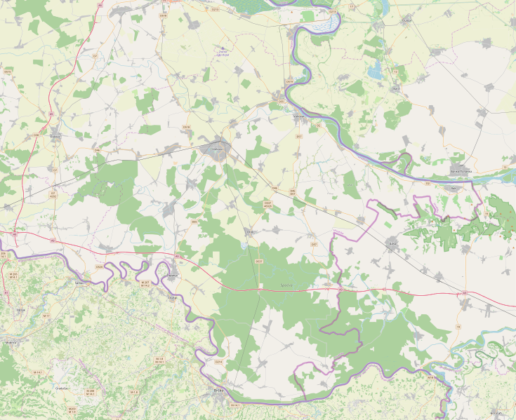
This map of Vukovarsko-srijemska županija was created from OpenStreetMap project data, collected by the community. This map may be incomplete, and may contain errors. Don't rely solely on it for navigation. |
| Date | (see file history) |
| Source | openstreetmap.org |
| Creator |
OpenStreetMap contributors |
| Permission (Reusing this file) |
OpenStreetMap data and maps are licensed under the Creative Commons Attribution-ShareAlike 2.0 license (CC-BY-SA 2.0). This file is licensed under the Creative Commons Attribution-Share Alike 2.0 Generic license.
|
| Georeferencing | If inappropriate please set warp_status = skip to hide. |
File history
Click on a date/time to view the file as it appeared at that time.
| Date/Time | Thumbnail | Dimensions | User | Comment | |
|---|---|---|---|---|---|
| current | 00:00, 21 October 2019 | | 2,488 × 2,029 (24.9 MB) | wikimediacommons>Vedran V | Update of a map |
File usage
No pages on the Justapedia use this file (pages on other projects are not listed).
Metadata
BoilerPlate was here