File:Tajikistan Topography.png
Jump to navigation
Jump to search
Size of this preview: 800 × 582 pixels. Other resolutions: 320 × 233 pixels | 640 × 465 pixels | 1,024 × 744 pixels | 1,249 × 908 pixels.
Original file (1,249 × 908 pixels, file size: 1.32 MB, MIME type: image/png)
| This is a file from the Wikimedia Commons. Information from its description page there is shown below. Commons is a freely licensed media file repository. You can help. |
File history
Click on a date/time to view the file as it appeared at that time.
| Date/Time | Thumbnail | Dimensions | User | Comment | |
|---|---|---|---|---|---|
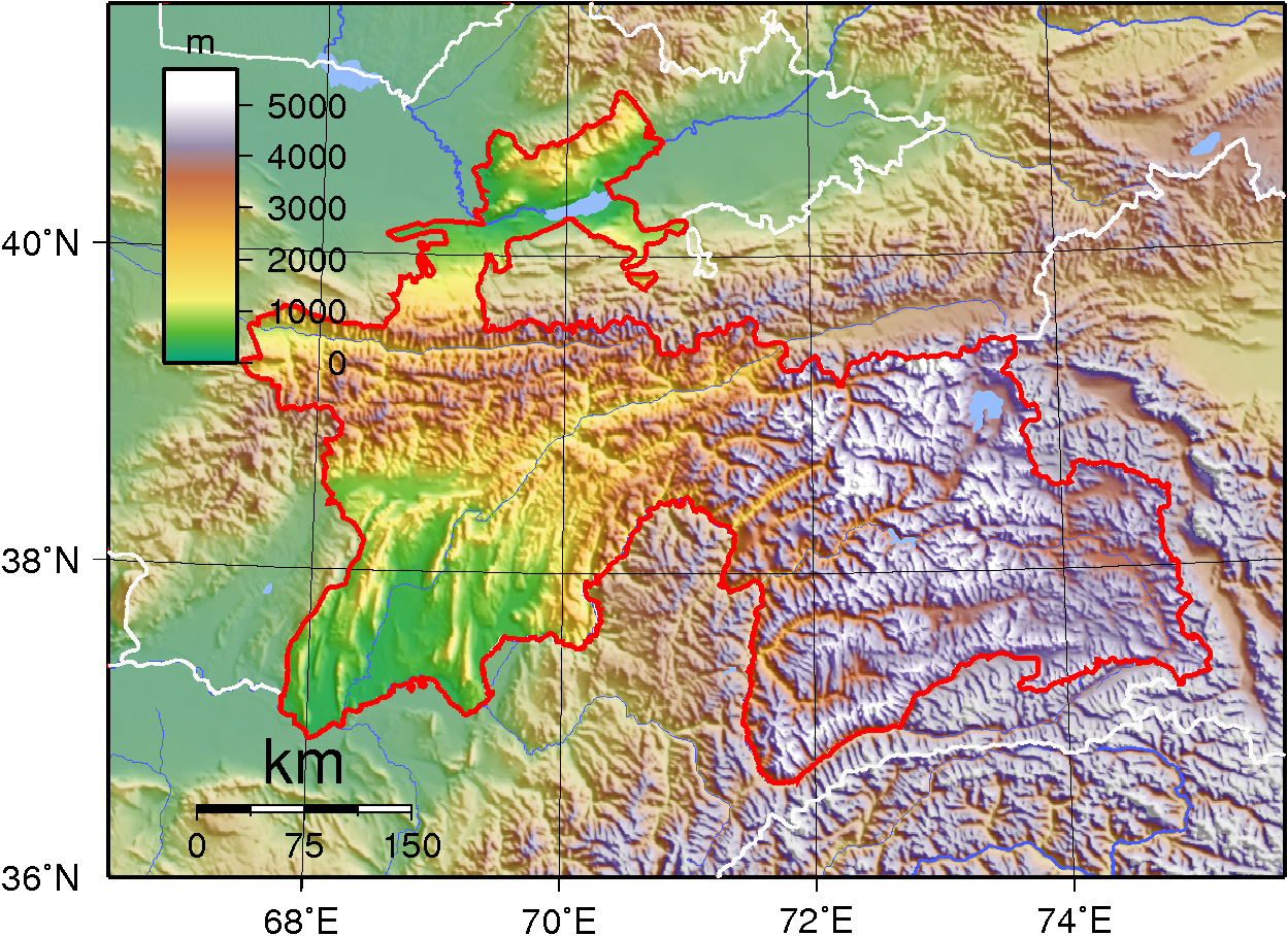
| current | 22:49, 1 July 2007 | | 1,249 × 908 (1.32 MB) | wikimediacommons>Sadalmelik | {{Information |Description=Topographic map of Tajikistan. Created with GMT from SRTM data |Source=self-made |Date=July 1, 2007 |Author= Sadalmelik }} Category:Topographic maps of Asia Category:Maps of Tajikistan |
File usage
The following pages use this file on Justapedia (pages on other projects are not listed):