File:SouthThanet2007Constituency.svg
Jump to navigation
Jump to search

Size of this PNG preview of this SVG file: 312 × 205 pixels. Other resolutions: 320 × 210 pixels | 640 × 421 pixels | 1,024 × 673 pixels | 1,280 × 841 pixels | 2,560 × 1,682 pixels.
Original file (SVG file, nominally 312 × 205 pixels, file size: 217 KB)
| This is a file from the Wikimedia Commons. Information from its description page there is shown below. Commons is a freely licensed media file repository. You can help. |
Summary
| Description |
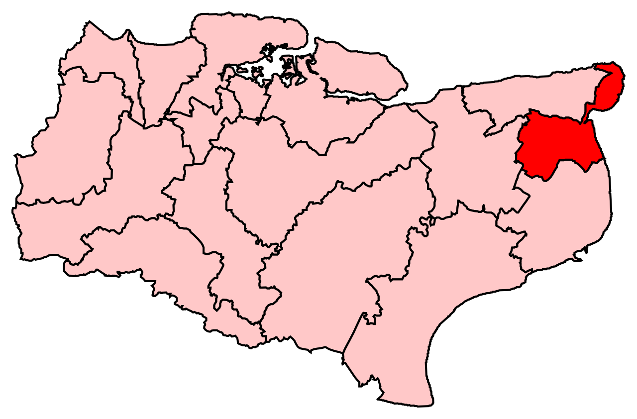
English: Map of the new UK Parliament constituency of South Thanet. |
| Source | Own work |
| Author | user:Wereon |
Licensing
| I, the copyright holder of this work, release this work into the public domain. This applies worldwide. In some countries this may not be legally possible; if so: I grant anyone the right to use this work for any purpose, without any conditions, unless such conditions are required by law. |
File history
Click on a date/time to view the file as it appeared at that time.
| Date/Time | Thumbnail | Dimensions | User | Comment | |
|---|---|---|---|---|---|
| current | 02:12, 9 July 2008 | | 312 × 205 (217 KB) | wikimediacommons>Wereon | == Summary == Map of the new UK Parliament constituency of South Thanet. == Licensing == {{PD-self}} Category:Locator maps of parliamentary constituencies of Kent {{ImageUpload|basic}} |
File usage
No pages on the Justapedia use this file (pages on other projects are not listed).
BoilerPlate was here