File:Simeon DeWitt Twenty Townships c.1792.png
Jump to navigation
Jump to search
Size of this preview: 635 × 600 pixels. Other resolutions: 254 × 240 pixels | 508 × 480 pixels | 960 × 907 pixels.
Original file (960 × 907 pixels, file size: 487 KB, MIME type: image/png)
| This is a file from the Wikimedia Commons. Information from its description page there is shown below. Commons is a freely licensed media file repository. You can help. |
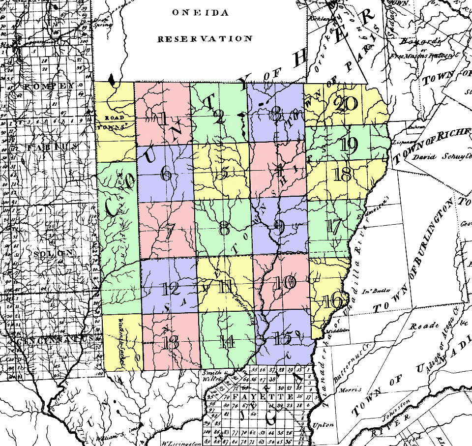
| Description | Map of the Twenty Townships (called Sale Townships on this map). Located in what was then w:Herkimer County, New York, about where northern Chenango and southern Madison Counties are today. | ||||
| Date | circa 1779 | ||||
| Source | w:Image:Twenty Townships.png | ||||
| Author | Simeon De Witt NY Surveyor General (colored by me) | ||||
| Permission (Reusing this file) |
|
||||
File history
Click on a date/time to view the file as it appeared at that time.
| Date/Time | Thumbnail | Dimensions | User | Comment | |
|---|---|---|---|---|---|
| current | 16:56, 19 June 2006 | | 960 × 907 (487 KB) | wikimediacommons>Nonenmac | {{Information |Description=Map of the '''''Twenty Townships''''' (called Sale Townships on this map). Located in what was then w:Herkimer County, New York, about where northern Chenango and southern [[w:Madison County, |
File usage
No pages on the Justapedia use this file (pages on other projects are not listed).