File:Shaded relief map of Black Hills, SD, Topographic-NatAtlas-BHills-SD.jpg
Jump to navigation
Jump to search
Size of this preview: 800 × 572 pixels. Other resolutions: 320 × 229 pixels | 640 × 457 pixels | 900 × 643 pixels.
Original file (900 × 643 pixels, file size: 150 KB, MIME type: image/jpeg)
| This is a file from the Wikimedia Commons. Information from its description page there is shown below. Commons is a freely licensed media file repository. You can help. |
Summary
| Description |
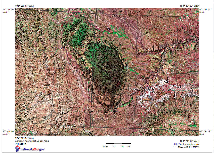
English: Satellite image with shaded relief map of Black Hills in southwest South Dakota. |
| Source | http://nationalatlas.gov |
| Author | U.S. Geological Survey |
| Permission (Reusing this file) |
This image is a work of the National Biological Information Infrastructure project of the United States Geological Survey's Biological Informatics Office. The images were explicitly marked as being the public domain on the NBII Digital Image Library website. As a work of the U.S. federal government, the image is in the public domain. |
Licensing
This image is in the public domain in the United States because it only contains materials that originally came from the United States Geological Survey, an agency of the United States Department of the Interior. For more information, see the official USGS copyright policy.
|
Original upload log
The original description page was here. All following user names refer to en.wikipedia.
- 2012-04-22 19:32 Jphill19 900×643× (153830 bytes) Uploading a public-domain item using [[Wikipedia:File_Upload_Wizard|File Upload Wizard]]
File history
Click on a date/time to view the file as it appeared at that time.
| Date/Time | Thumbnail | Dimensions | User | Comment | |
|---|---|---|---|---|---|
| current | 20:56, 30 December 2013 | | 900 × 643 (150 KB) | wikimediacommons>Gemini1980 | {{Information |Description ={{en|1=aa}} |Source =aa |Author =aa |Date = |Permission = |other_versions = }} |
File usage
No pages on the Justapedia use this file (pages on other projects are not listed).