File:Serbia Vojvodina location map.svg
Jump to navigation
Jump to search

Size of this PNG preview of this SVG file: 666 × 600 pixels. Other resolutions: 267 × 240 pixels | 533 × 480 pixels | 853 × 768 pixels | 1,138 × 1,024 pixels | 2,275 × 2,048 pixels | 902 × 812 pixels.
Original file (SVG file, nominally 902 × 812 pixels, file size: 76 KB)
| This is a file from the Wikimedia Commons. Information from its description page there is shown below. Commons is a freely licensed media file repository. You can help. |
Summary
| Description |
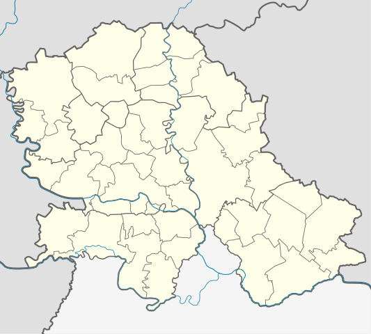
Quadratische Plattkarte, N-S-Streckung 140 %. Geographische Begrenzung der Karte:
Equirectangular projection, N/S stretching 140 %. Geographic limits of the map:
|
|
| Date | ||
| Source | Own work using United States National Imagery and Mapping Agency data | |
| Author | NordNordWest | |
| Permission (Reusing this file) |
This file is licensed under the Creative Commons Attribution-Share Alike 3.0 Germany license.
 |


|
This map has been made or improved in the German Kartenwerkstatt (Map Lab). You can propose maps to improve as well.
|
Licensing
This file is licensed under the Creative Commons Attribution-Share Alike 3.0 Germany license.
- You are free:
- to share – to copy, distribute and transmit the work
- to remix – to adapt the work
- Under the following conditions:
- attribution – You must give appropriate credit, provide a link to the license, and indicate if changes were made. You may do so in any reasonable manner, but not in any way that suggests the licensor endorses you or your use.
- share alike – If you remix, transform, or build upon the material, you must distribute your contributions under the same or compatible license as the original.
File history
Click on a date/time to view the file as it appeared at that time.
| Date/Time | Thumbnail | Dimensions | User | Comment | |
|---|---|---|---|---|---|
| current | 23:53, 26 February 2013 | | 902 × 812 (76 KB) | wikimediacommons>NordNordWest | == {{int:filedesc}} == {{Information |Description= {{de|Positionskarte der Vojvodina, Serbien}} Quadratische Plattkarte, N-S-Streckung 140 %. Geographische Begrenzung der Karte: * N: 46.3° N * S: 44.5° N * W: 18.8° ... |
File usage
No pages on the Justapedia use this file (pages on other projects are not listed).
Metadata
BoilerPlate was here