File:Scottish Borders UK relief location map.jpg
Jump to navigation
Jump to search

Size of this preview: 647 × 600 pixels. Other resolutions: 259 × 240 pixels | 518 × 480 pixels | 828 × 768 pixels | 1,105 × 1,024 pixels | 2,003 × 1,857 pixels.
Original file (2,003 × 1,857 pixels, file size: 618 KB, MIME type: image/jpeg)
| This is a file from the Wikimedia Commons. Information from its description page there is shown below. Commons is a freely licensed media file repository. You can help. |
File history
Click on a date/time to view the file as it appeared at that time.
| Date/Time | Thumbnail | Dimensions | User | Comment | |
|---|---|---|---|---|---|
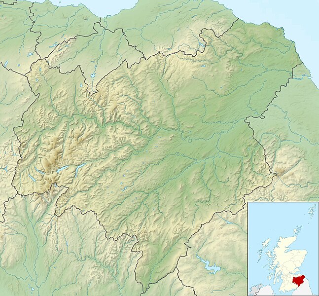
| current | 16:28, 30 November 2011 | | 2,003 × 1,857 (618 KB) | wikimediacommons>Nilfanion | {{Information |Description=Relief map of the Scottish Borders, UK. Equirectangular map projection on WGS 84 datum, with N/S stretched 170% Geographic limits: *West: 3.60W *East: 1.95W *North: 56.00N *South: 55.10N |Source=[[w:Ordn |
File usage
No pages on the Justapedia use this file (pages on other projects are not listed).