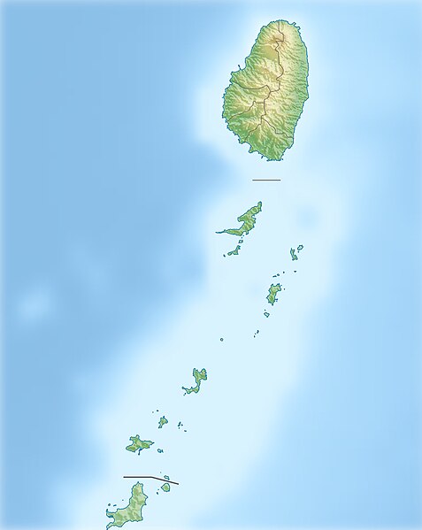
File:Saint Vincent and the Grenadines relief location map.jpg
Jump to navigation
Jump to search

Size of this preview: 477 × 599 pixels. Other resolutions: 191 × 240 pixels | 382 × 480 pixels | 611 × 768 pixels | 1,060 × 1,332 pixels.
Original file (1,060 × 1,332 pixels, file size: 194 KB, MIME type: image/jpeg)
File history
Click on a date/time to view the file as it appeared at that time.
| Date/Time | Thumbnail | Dimensions | User | Comment | |
|---|---|---|---|---|---|
| current | 14:52, 1 January 2013 |  | 1,060 × 1,332 (194 KB) | wikimediacommons>Carport | {{Information |Description= {{de|Physische Positionskarte von St. Vincent und die Grenadinen}} Geographische Begrenzung der Karte: * N: 13.42° N * S: 12.44° N * W: 61.7° W * O: 60.9° W {{en|Location map of [[:... |
File usage
No pages on the Justapedia use this file (pages on other projects are not listed).