File:Saint Lucia location map.svg
Jump to navigation
Jump to search

Size of this PNG preview of this SVG file: 475 × 599 pixels. Other resolutions: 190 × 240 pixels | 380 × 480 pixels | 609 × 768 pixels | 812 × 1,024 pixels | 1,624 × 2,048 pixels | 1,060 × 1,337 pixels.
Original file (SVG file, nominally 1,060 × 1,337 pixels, file size: 114 KB)
| This is a file from the Wikimedia Commons. Information from its description page there is shown below. Commons is a freely licensed media file repository. You can help. |
Summary
| Description |
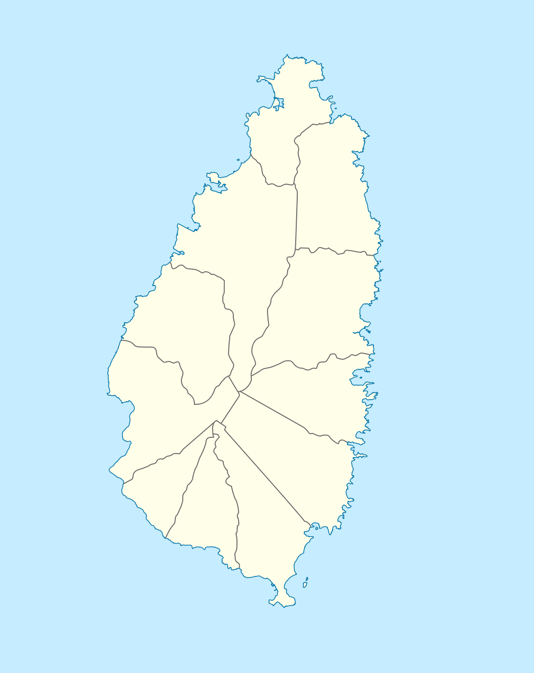
Deutsch: Positionskarte von St. Lucia
Geographische Begrenzung der Karte:
English: Location map of Saint Lucia
Geographic limits of the map:
|
||||||||||||
| Date | |||||||||||||
| Source |
Own work, using |
||||||||||||
| Author | NordNordWest | ||||||||||||
| Permission (Reusing this file) |
|

|
This map has been made or improved in the German Kartenwerkstatt (Map Lab). You can propose maps to improve as well.
|
File history
Click on a date/time to view the file as it appeared at that time.
| Date/Time | Thumbnail | Dimensions | User | Comment | |
|---|---|---|---|---|---|
| current | 22:16, 18 December 2009 | | 1,060 × 1,337 (114 KB) | wikimediacommons>NordNordWest | == {{int:filedesc}} == {{Information |Description= {{de|Positionskarte von St. Lucia}} Geographische Begrenzung der Karte: * N: 14.15° N * S: 13.66° N * W: 61.16° W * O: 60.76° W {{en|Location map of Saint Lucia}} |
File usage
No pages on the Justapedia use this file (pages on other projects are not listed).