File:Rita 2005-09-24 1615Z.jpg
Jump to navigation
Jump to search
No higher resolution available.
Rita_2005-09-24_1615Z.jpg (642 × 482 pixels, file size: 43 KB, MIME type: image/jpeg)
| This is a file from the Wikimedia Commons. Information from its description page there is shown below. Commons is a freely licensed media file repository. You can help. |
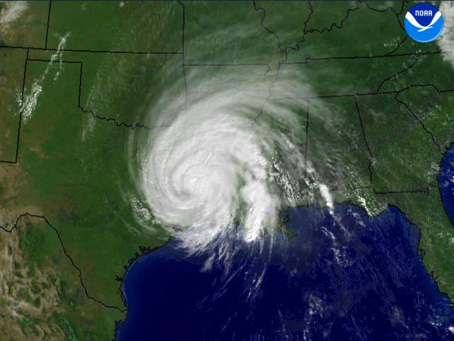
Hurricane Rita regional imagery, 2005.09.24 at 1615Z. Centerpoint Latitude: 32:30:04N Longitude: 93:06:23W.
source: http://www.nnvl.noaa.gov/cgi-bin/index.cgi?page=items&ser=109807&large=1
from: http://www.nnvl.noaa.gov/cgi-bin/index.cgi?page=items&ser=109802&large=1
This image is in the public domain because it contains materials that originally came from the U.S. National Oceanic and Atmospheric Administration, taken or made as part of an employee's official duties.
|
File history
Click on a date/time to view the file as it appeared at that time.
| Date/Time | Thumbnail | Dimensions | User | Comment | |
|---|---|---|---|---|---|
| current | 17:08, 25 September 2005 | | 642 × 482 (43 KB) | wikimediacommons>っ | Hurricane Rita regional imagery, 2005.09.24 at 1615Z. Centerpoint Latitude: 32:30:04N Longitude: 93:06:23W. source: http://www.nnvl.noaa.gov/cgi-bin/index.cgi?page=items&ser=109807&large=1 from: http://www.nnvl.noaa.gov/cgi-bin/index.cgi?page=items&ser= |
File usage
No pages on the Justapedia use this file (pages on other projects are not listed).