File:Raionul Hincesti location map.jpg
Jump to navigation
Jump to search
Size of this preview: 468 × 599 pixels. Other resolutions: 187 × 240 pixels | 375 × 480 pixels | 599 × 768 pixels | 1,125 × 1,441 pixels.
Original file (1,125 × 1,441 pixels, file size: 447 KB, MIME type: image/jpeg)
| This is a file from the Wikimedia Commons. Information from its description page there is shown below. Commons is a freely licensed media file repository. You can help. |
Summary
| Description |
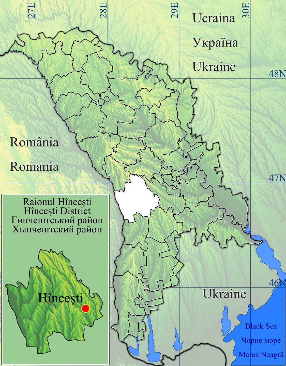
English: Raionul Hincesti location map.
|
| Date | |
| Source | Topographic data SRTM from NASA and World Imagery & 3DEM & Inkscape |
| Author | Asybaris01 |
| Other versions |
|


Licensing
| This file is in the public domain in the United States because it was solely created by NASA. NASA copyright policy states that "NASA material is not protected by copyright unless noted". (See Template:PD-USGov, NASA copyright policy page or JPL Image Use Policy.) | ||
 |
Warnings:
|
File history
Click on a date/time to view the file as it appeared at that time.
| Date/Time | Thumbnail | Dimensions | User | Comment | |
|---|---|---|---|---|---|
| current | 20:41, 16 February 2012 | | 1,125 × 1,441 (447 KB) | wikimediacommons>Asybaris01 | new |
File usage
No pages on the Justapedia use this file (pages on other projects are not listed).