File:Poplar Valley No. 12 Coloured Map.svg
Jump to navigation
Jump to search

Size of this PNG preview of this SVG file: 169 × 172 pixels. Other resolutions: 236 × 240 pixels | 472 × 480 pixels | 755 × 768 pixels | 1,006 × 1,024 pixels | 2,012 × 2,048 pixels.
Original file (SVG file, nominally 169 × 172 pixels, file size: 453 KB)
| This is a file from the Wikimedia Commons. Information from its description page there is shown below. Commons is a freely licensed media file repository. You can help. |
Summary
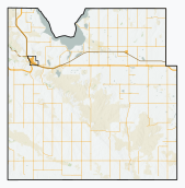
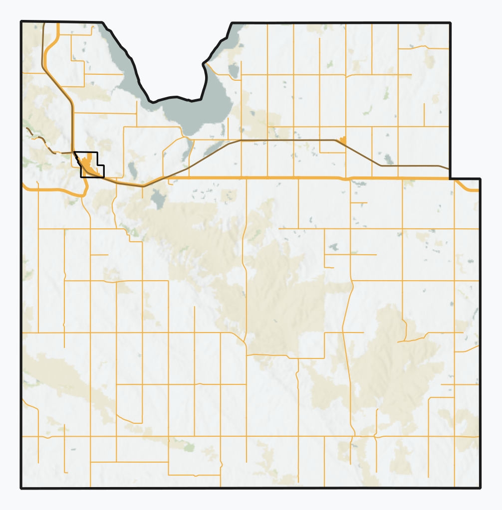
| Description | A series of SVG overviews of Saskatchewan rural municipalities, using open CEC Landsat-derived land cover data (2010) to generate a naturalistic colour scheme. More information here. Vector features are from Saskatchewan's ISC, the Government of Canada, and some manual digitization of urban footprints and abandoned railways. |
| Date | |
| Source | Own work |
| Author | awmcphee |
Licensing
I, the copyright holder of this work, hereby publish it under the following license:
| This file is made available under the Creative Commons CC0 1.0 Universal Public Domain Dedication. | |
| The person who associated a work with this deed has dedicated the work to the public domain by waiving all of their rights to the work worldwide under copyright law, including all related and neighboring rights, to the extent allowed by law. You can copy, modify, distribute and perform the work, even for commercial purposes, all without asking permission.
|
File history
Click on a date/time to view the file as it appeared at that time.
| Date/Time | Thumbnail | Dimensions | User | Comment | |
|---|---|---|---|---|---|
| current | 00:34, 30 August 2020 | | 169 × 172 (453 KB) | wikimediacommons>Awmcphee | Orange roads |
File usage
No pages on the Justapedia use this file (pages on other projects are not listed).