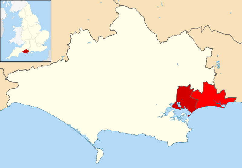
File:Poole UK locator map.svg
Jump to navigation
Jump to search

Size of this PNG preview of this SVG file: 800 × 556 pixels. Other resolutions: 320 × 222 pixels | 640 × 445 pixels | 1,024 × 711 pixels | 1,280 × 889 pixels | 2,560 × 1,779 pixels | 1,425 × 990 pixels.
Original file (SVG file, nominally 1,425 × 990 pixels, file size: 919 KB)
| This is a file from the Wikimedia Commons. Information from its description page there is shown below. Commons is a freely licensed media file repository. You can help. |
File history
Click on a date/time to view the file as it appeared at that time.
| Date/Time | Thumbnail | Dimensions | User | Comment | |
|---|---|---|---|---|---|
| current | 20:37, 21 April 2020 | | 1,425 × 990 (919 KB) | wikimediacommons>BryceIII | Updated to 2019 borders with BCP. Usage is limited to Poole page so makes sense to use contemporary borders |
File usage
No pages on the Justapedia use this file (pages on other projects are not listed).