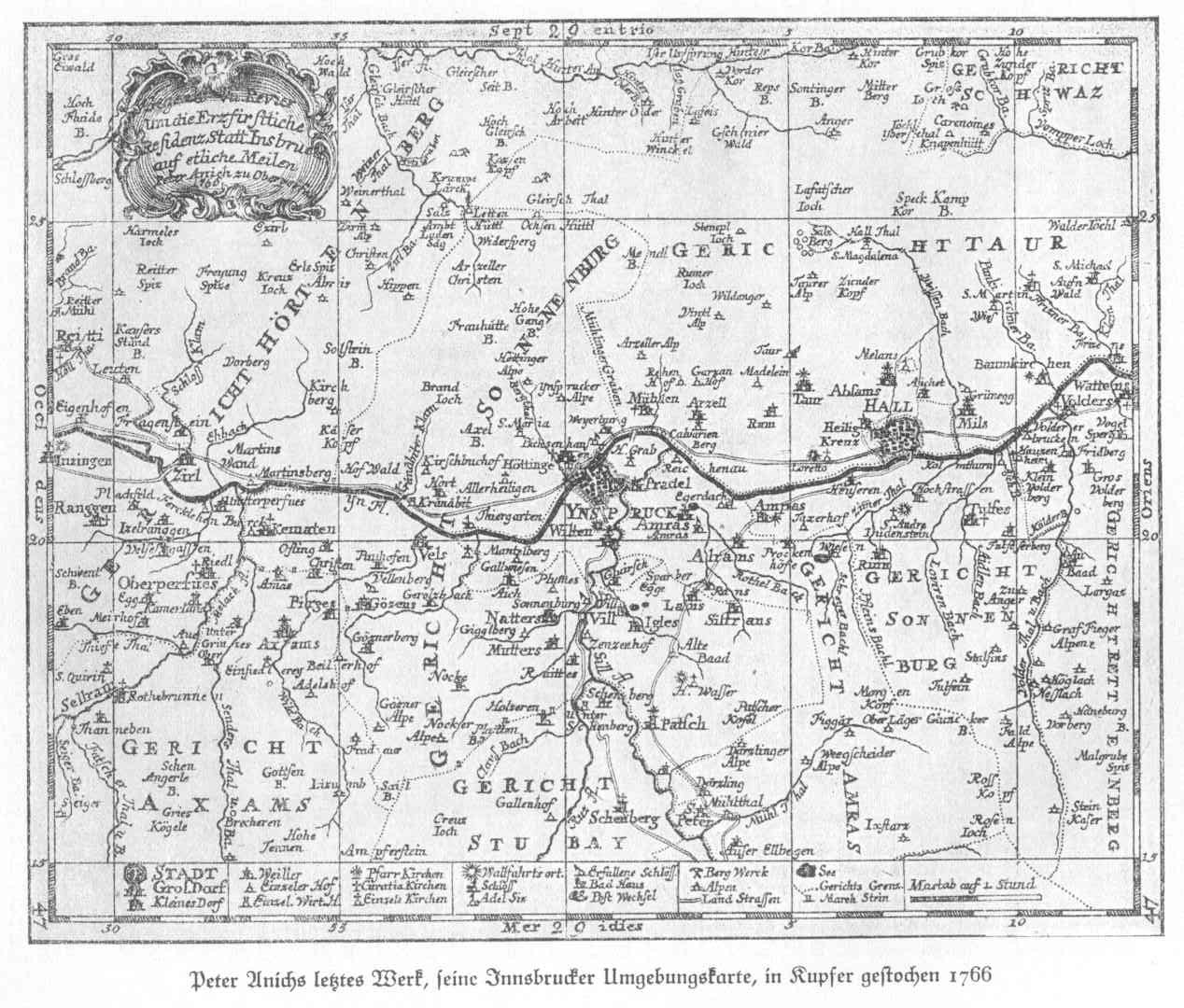
File:Peter Anichs letzte Karte von der Innsbrucker Umgebung von 1766.jpg
Jump to navigation
Jump to search
Size of this preview: 704 × 600 pixels. Other resolutions: 282 × 240 pixels | 564 × 480 pixels | 902 × 768 pixels | 1,268 × 1,080 pixels.
Original file (1,268 × 1,080 pixels, file size: 354 KB, MIME type: image/jpeg)
| This is a file from the Wikimedia Commons. Information from its description page there is shown below. Commons is a freely licensed media file repository. You can help. |
File history
Click on a date/time to view the file as it appeared at that time.
| Date/Time | Thumbnail | Dimensions | User | Comment | |
|---|---|---|---|---|---|
| current | 23:44, 4 March 2009 | | 1,268 × 1,080 (354 KB) | wikimediacommons>Schlesinger | {{Information |Description={{en|1=Scan from a historic book}} |Source=Eigenes Werk (own work) |Author=Schlesinger |Date=1766 |Permission=yes |other_versions=no }} <!--{{ImageUpload|full}}--> Category:Historic maps of Austria |
File usage
No pages on the Justapedia use this file (pages on other projects are not listed).