File:POL powiat pucki locator map (label-pl).svg
Jump to navigation
Jump to search

Size of this PNG preview of this SVG file: 800 × 422 pixels. Other resolutions: 320 × 169 pixels | 640 × 338 pixels | 1,024 × 540 pixels | 1,280 × 675 pixels | 2,560 × 1,350 pixels | 1,200 × 633 pixels.
Original file (SVG file, nominally 1,200 × 633 pixels, file size: 30 KB)
| This is a file from the Wikimedia Commons. Information from its description page there is shown below. Commons is a freely licensed media file repository. You can help. |
Summary
| Description |
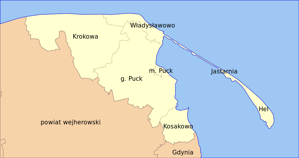
English: Labeled in polish locator map of Puck County (create according to standard).
Polski: Opisana po polsku mapa lokalizacyjna powiatu puckiego (wykonana według standardu). |
| Date | |
| Source | Own work |
| Author | Magul |
| Other versions |
|
.svg)
.svg)
Licensing
I, the copyright holder of this work, hereby publish it under the following licenses:

|
Permission is granted to copy, distribute and/or modify this document under the terms of the GNU Free Documentation License, Version 1.2 or any later version published by the Free Software Foundation; with no Invariant Sections, no Front-Cover Texts, and no Back-Cover Texts. A copy of the license is included in the section entitled GNU Free Documentation License. |
This file is licensed under the Creative Commons Attribution-Share Alike Attribution-Share Alike 4.0 International, 3.0 Unported, 2.5 Generic, 2.0 Generic and 1.0 Generic license.
- You are free:
- to share – to copy, distribute and transmit the work
- to remix – to adapt the work
- Under the following conditions:
- attribution – You must give appropriate credit, provide a link to the license, and indicate if changes were made. You may do so in any reasonable manner, but not in any way that suggests the licensor endorses you or your use.
- share alike – If you remix, transform, or build upon the material, you must distribute your contributions under the same or compatible license as the original.
You may select the license of your choice.
File history
Click on a date/time to view the file as it appeared at that time.
| Date/Time | Thumbnail | Dimensions | User | Comment | |
|---|---|---|---|---|---|
| current | 15:06, 30 July 2009 | | 1,200 × 633 (30 KB) | wikimediacommons>Magul | == Opis == {{Information |Description={{en|1=Labeled in polish locator map of Puck County (create according to [http://en.wikipedia.org/wiki/Wikipedia:WikiProject_Maps/Conventions/Locator_maps_(blank) standard]).}} {{pl|1=Opisana po polsku mapa lokalizacy |
File usage
No pages on the Justapedia use this file (pages on other projects are not listed).
.svg)