File:Outline Map of Amur Oblast.svg
Jump to navigation
Jump to search

Size of this PNG preview of this SVG file: 558 × 512 pixels. Other resolutions: 262 × 240 pixels | 523 × 480 pixels | 837 × 768 pixels | 1,116 × 1,024 pixels | 2,232 × 2,048 pixels.
Original file (SVG file, nominally 558 × 512 pixels, file size: 595 KB)
| This is a file from the Wikimedia Commons. Information from its description page there is shown below. Commons is a freely licensed media file repository. You can help. |
Summary
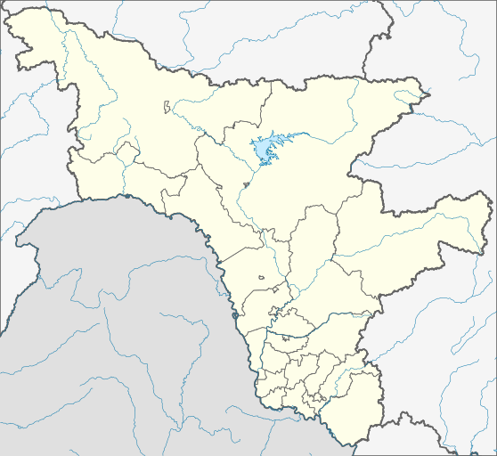
| Description |
Русский: Административная карта Амурской области, Россия.
|
| Date | |
| Source |
This W3C-unspecified vector image was created with Inkscape . |
| Author | Nzeemin |
| Other versions |
|

Licensing
| Description |
This map was created from OpenStreetMap project data, collected by the community. This map may be incomplete, and may contain errors. Don't rely solely on it for navigation. |
| Date | (see file history) |
| Source | openstreetmap.org |
| Creator |
OpenStreetMap contributors |
| Permission (Reusing this file) |
OpenStreetMap data and maps are licensed under the Creative Commons Attribution-ShareAlike 2.0 license (CC-BY-SA 2.0). This file is licensed under the Creative Commons Attribution-Share Alike 2.0 Generic license.
|
| Georeferencing | If inappropriate please set warp_status = skip to hide. |
File history
Click on a date/time to view the file as it appeared at that time.
| Date/Time | Thumbnail | Dimensions | User | Comment | |
|---|---|---|---|---|---|
| current | 12:20, 10 March 2012 | | 558 × 512 (595 KB) | wikimediacommons>Nzeemin | more accurate lake from Vmap0 dataset |
File usage
No pages on the Justapedia use this file (pages on other projects are not listed).