File:Northern England-Historic counties.svg
Jump to navigation
Jump to search

Size of this PNG preview of this SVG file: 473 × 599 pixels. Other resolutions: 189 × 240 pixels | 379 × 480 pixels | 606 × 768 pixels | 808 × 1,024 pixels | 1,616 × 2,048 pixels | 809 × 1,025 pixels.
Original file (SVG file, nominally 809 × 1,025 pixels, file size: 933 KB)
| This is a file from the Wikimedia Commons. Information from its description page there is shown below. Commons is a freely licensed media file repository. You can help. |
| Description |
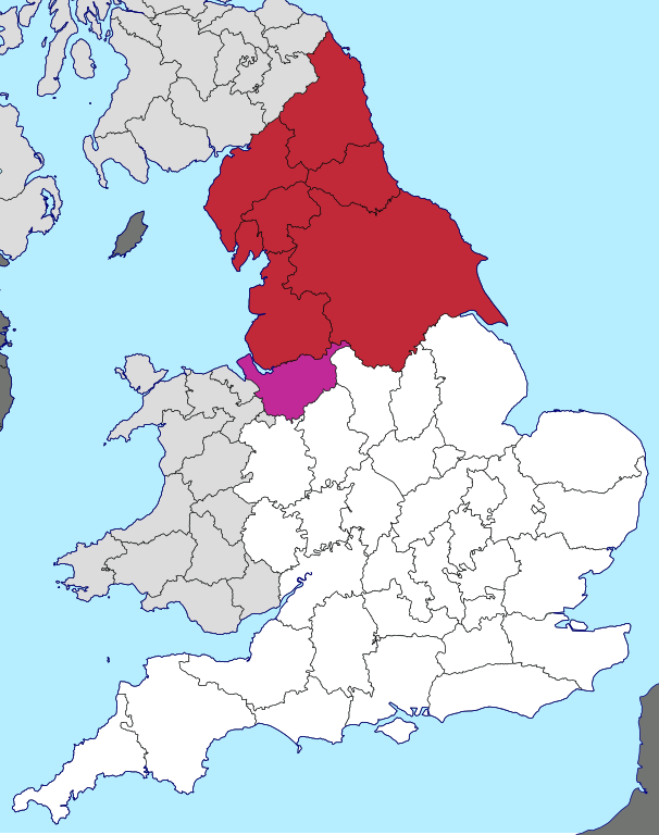
English: Northern England, as defined along historic county boundaries |
| Date | |
| Source | British Isles in counties.svg |
| Author | User:Visitor from Wikishire. This particular view by User:Inops |
| Permission (Reusing this file) |
This file is licensed under the Creative Commons Attribution-Share Alike 4.0 International license. Attribution: Wikishire
|
File history
Click on a date/time to view the file as it appeared at that time.
| Date/Time | Thumbnail | Dimensions | User | Comment | |
|---|---|---|---|---|---|
| current | 00:25, 30 April 2018 | | 809 × 1,025 (933 KB) | wikimediacommons>Inops | make France the right colour |
File usage
No pages on the Justapedia use this file (pages on other projects are not listed).