File:NepalTanahuDistrictmap.png
Jump to navigation
Jump to search
Size of this preview: 800 × 565 pixels. Other resolutions: 320 × 226 pixels | 640 × 452 pixels | 1,024 × 724 pixels | 1,280 × 905 pixels | 2,560 × 1,809 pixels | 3,508 × 2,479 pixels.
Original file (3,508 × 2,479 pixels, file size: 339 KB, MIME type: image/png)
| This is a file from the Wikimedia Commons. Information from its description page there is shown below. Commons is a freely licensed media file repository. You can help. |
File history
Click on a date/time to view the file as it appeared at that time.
| Date/Time | Thumbnail | Dimensions | User | Comment | |
|---|---|---|---|---|---|
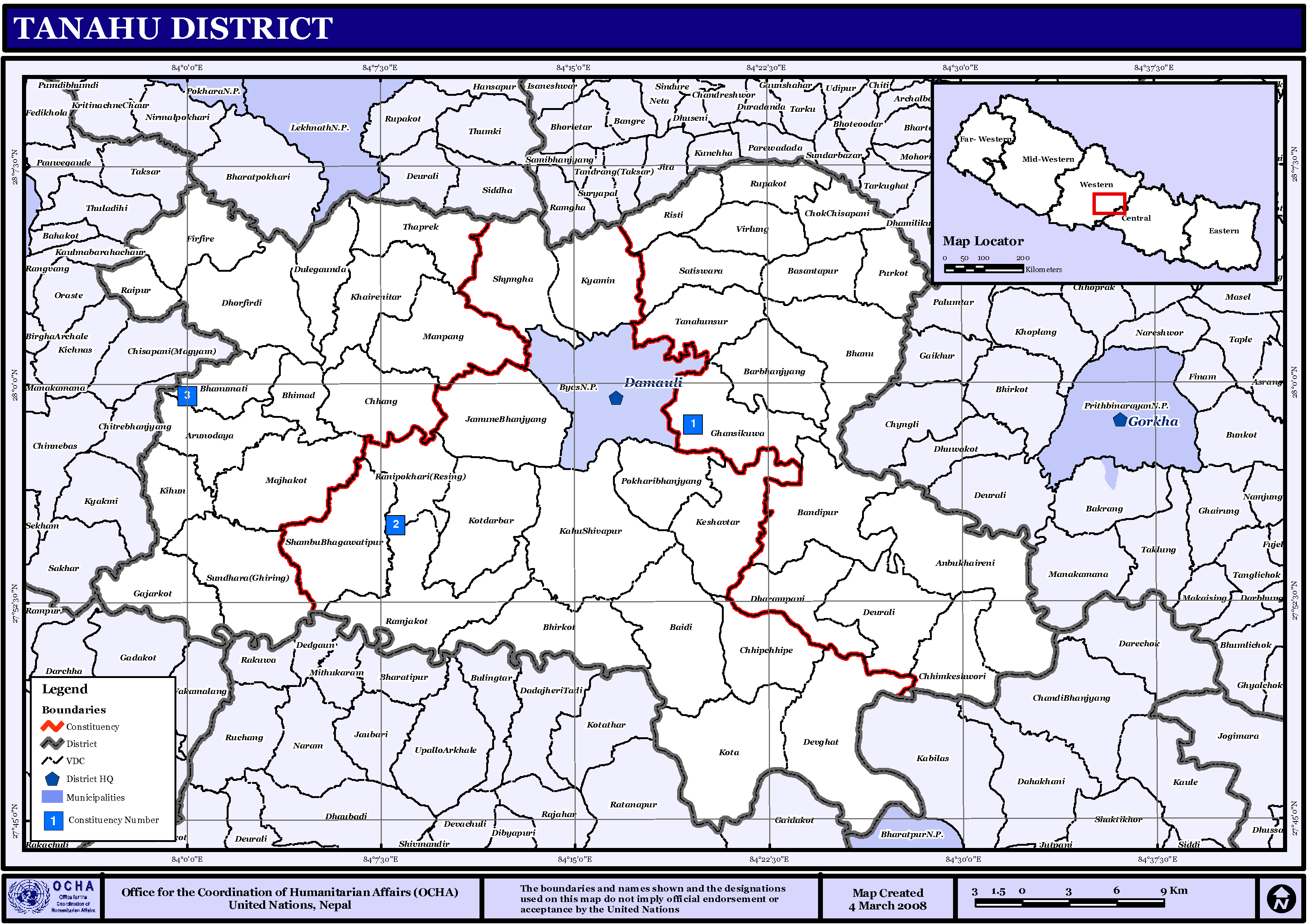
| current | 22:55, 15 November 2008 | | 3,508 × 2,479 (339 KB) | wikimediacommons>Sadalmelik | {{Information |Description={{en|1=Map displaying Village Development Committees in Tanahu District, Nepal}} |Source=http://www.un.org.np/maps/district-maps/western/Tanahu.pdf |Date=March 4, 2008 |Author=United Nations |Permission= |other_versions= }} |
File usage
No pages on the Justapedia use this file (pages on other projects are not listed).