File:NAS Banana River NAN4 47.jpg
Jump to navigation
Jump to search
Size of this preview: 800 × 523 pixels. Other resolutions: 320 × 209 pixels | 640 × 418 pixels | 975 × 637 pixels.
Original file (975 × 637 pixels, file size: 416 KB, MIME type: image/jpeg)
| This is a file from the Wikimedia Commons. Information from its description page there is shown below. Commons is a freely licensed media file repository. You can help. |
Summary
| Description |
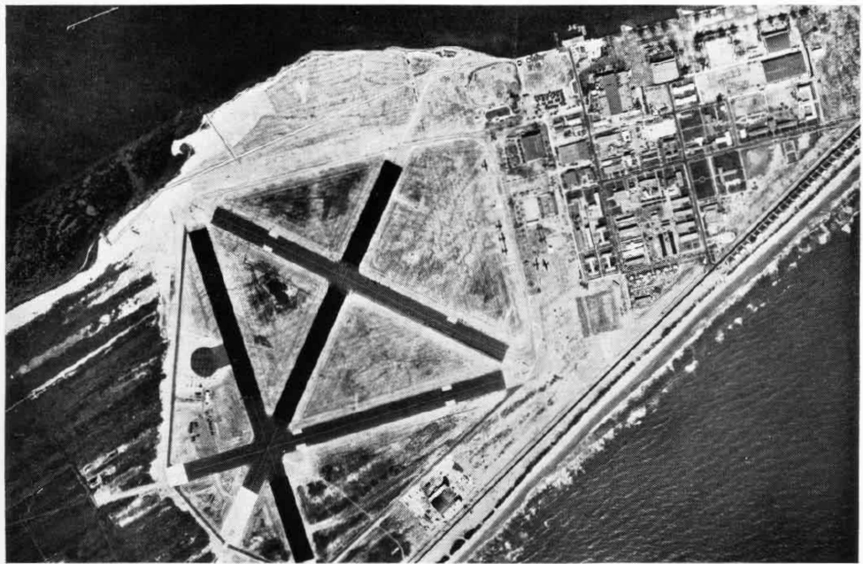
English: The U.S. Naval Air Station Banana River, Florida, USA, about 1946-1947. |
| Date | circa 1946 |
| Source | U.S. Naval Aviation News April 1947 [1] |
| Author | U.S. Navy |
| Camera location | | View this and other nearby images on: OpenStreetMap |
|---|
Licensing
This file is a work of a sailor or employee of the U.S. Navy, taken or made as part of that person's official duties. As a work of the U.S. federal government, it is in the public domain in the United States.
|
 | |
| This file has been identified as being free of known restrictions under copyright law, including all related and neighboring rights. | ||
File history
Click on a date/time to view the file as it appeared at that time.
| Date/Time | Thumbnail | Dimensions | User | Comment | |
|---|---|---|---|---|---|
| current | 01:36, 7 April 2010 | | 975 × 637 (416 KB) | wikimediacommons>Cobatfor | larger version of same photo |
File usage
No pages on the Justapedia use this file (pages on other projects are not listed).