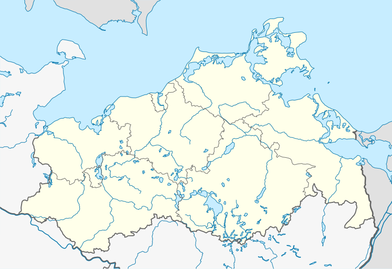
File:Mecklenburg-Vorpommern location map.svg
Jump to navigation
Jump to search

Size of this PNG preview of this SVG file: 800 × 549 pixels. Other resolutions: 320 × 219 pixels | 640 × 439 pixels | 1,024 × 702 pixels | 1,280 × 878 pixels | 2,560 × 1,756 pixels | 1,127 × 773 pixels.
Original file (SVG file, nominally 1,127 × 773 pixels, file size: 238 KB)
| This is a file from the Wikimedia Commons. Information from its description page there is shown below. Commons is a freely licensed media file repository. You can help. |
File history
Click on a date/time to view the file as it appeared at that time.
| Date/Time | Thumbnail | Dimensions | User | Comment | |
|---|---|---|---|---|---|
| current | 19:39, 3 September 2011 | | 1,127 × 773 (238 KB) | wikimediacommons>NordNordWest | . |
File usage
The following pages use this file on Justapedia (pages on other projects are not listed):