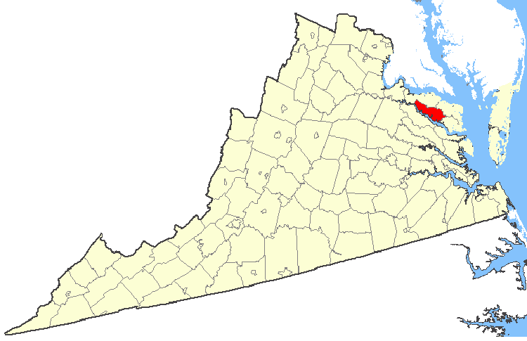
File:Map showing Richmond County, Virginia.png
Jump to navigation
Jump to search
No higher resolution available.
Map_showing_Richmond_County,_Virginia.png (750 × 485 pixels, file size: 31 KB, MIME type: image/png)
| This is a file from the Wikimedia Commons. Information from its description page there is shown below. Commons is a freely licensed media file repository. You can help. |
| Description | Maps of counties in Virginia |
| Source | http://nationalatlas.gov/ |
| Author | |
| Permission (Reusing this file) |
Original work of the US Federal Government - public domain |
This map was obtained from an edition of the National Atlas of the United States. Like almost all works of the U.S. federal government, works from the National Atlas are in the public domain in the United States.
Online access: NationalAtlas.gov | 1970 print edition: Library of Congress, Perry-Castañeda Library
|
File history
Click on a date/time to view the file as it appeared at that time.
| Date/Time | Thumbnail | Dimensions | User | Comment | |
|---|---|---|---|---|---|
| current | 05:29, 19 February 2007 | | 750 × 485 (31 KB) | wikimediacommons>Rfc1394 | {{Information| |Description=Maps of counties in Virginia |Source=http://nationalatlas.gov/ |Date= |Author= |Permission=Original work of the US Federal Government - public domain |other_versions= }} {{PD-USGov}} Category:Virginia maps |
File usage
No pages on the Justapedia use this file (pages on other projects are not listed).