File:Map showing Fredericksburg city, Virginia.png
Jump to navigation
Jump to search
No higher resolution available.
Map_showing_Fredericksburg_city,_Virginia.png (750 × 485 pixels, file size: 35 KB, MIME type: image/png)
| This is a file from the Wikimedia Commons. Information from its description page there is shown below. Commons is a freely licensed media file repository. You can help. |
File history
Click on a date/time to view the file as it appeared at that time.
| Date/Time | Thumbnail | Dimensions | User | Comment | |
|---|---|---|---|---|---|
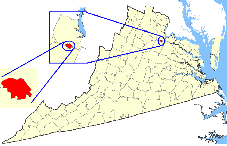
| current | 05:27, 19 February 2007 | | 750 × 485 (35 KB) | wikimediacommons>Rfc1394 | {{Information| |Description=Maps of counties in Virginia |Source=http://nationalatlas.gov/ |Date= |Author= |Permission=Original work of the US Federal Government - public domain |other_versions= }} {{PD-USGov}} Category:Virginia maps |
File usage
No pages on the Justapedia use this file (pages on other projects are not listed).