File:Map of medieval parish churches of York - St Andrew, St Andrewgate.svg
Jump to navigation
Jump to search

Size of this PNG preview of this SVG file: 719 × 600 pixels. Other resolutions: 288 × 240 pixels | 575 × 480 pixels | 921 × 768 pixels | 1,228 × 1,024 pixels | 2,455 × 2,048 pixels | 1,086 × 906 pixels.
Original file (SVG file, nominally 1,086 × 906 pixels, file size: 1.42 MB)
| This is a file from the Wikimedia Commons. Information from its description page there is shown below. Commons is a freely licensed media file repository. You can help. |
File history
Click on a date/time to view the file as it appeared at that time.
| Date/Time | Thumbnail | Dimensions | User | Comment | |
|---|---|---|---|---|---|
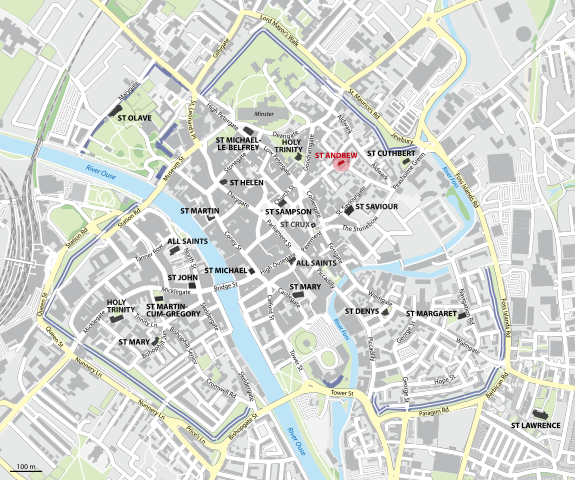
| current | 00:38, 15 February 2013 | | 1,086 × 906 (1.42 MB) | wikimediacommons>NordNordWest | == {{int:filedesc}} == {{Information |Description= {{de|Karte der mittelalterlichen Pfarrkirchen in York, St Andrew, St Andrewgate, hervorgehoben, Namen in Grau: Gebäude nicht mehr existent}} {{en|Map of the medieval parish churches of York, St Andrew... |
File usage
No pages on the Justapedia use this file (pages on other projects are not listed).