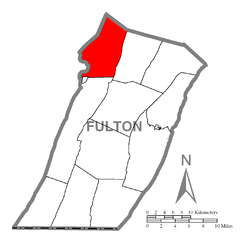
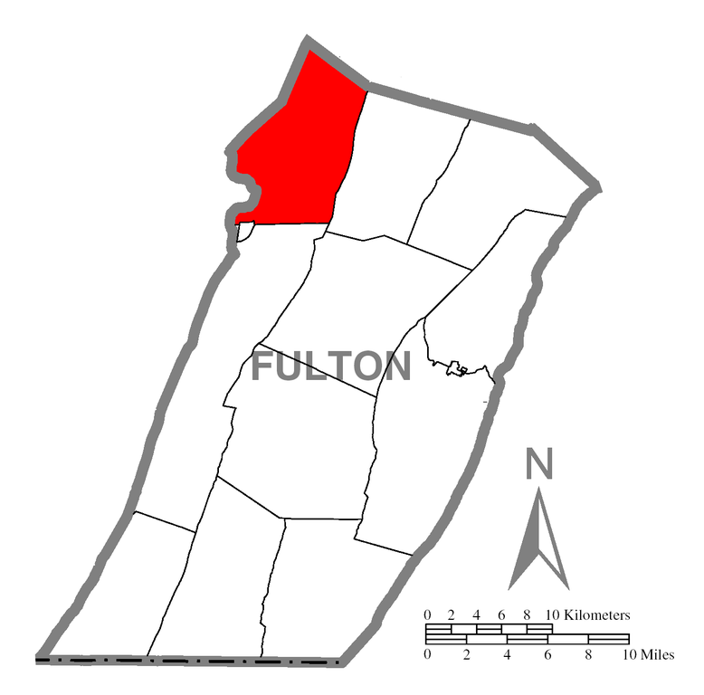
File:Map of Wells Township, Fulton County, Pennsylvania Highlighted.png
Jump to navigation
Jump to search

Size of this preview: 607 × 599 pixels. Other resolutions: 243 × 240 pixels | 486 × 480 pixels | 778 × 768 pixels | 1,037 × 1,024 pixels | 1,386 × 1,368 pixels.
Original file (1,386 × 1,368 pixels, file size: 36 KB, MIME type: image/png)
| This is a file from the Wikimedia Commons. Information from its description page there is shown below. Commons is a freely licensed media file repository. You can help. |
File history
Click on a date/time to view the file as it appeared at that time.
| Date/Time | Thumbnail | Dimensions | User | Comment | |
|---|---|---|---|---|---|
| current | 04:53, 8 October 2006 | | 1,386 × 1,368 (36 KB) | wikimediacommons>Ram-Man | {{Information| |Description=Map of Fulton County showing a location highlighted. |Source=Source image taken from the United States Census Bureau's website [http://www2.census.gov/geo/maps/general_ref/cousub_outline/cen |
File usage
No pages on the Justapedia use this file (pages on other projects are not listed).