File:Map of USA TX.svg
Jump to navigation
Jump to search

Size of this PNG preview of this SVG file: 286 × 186 pixels. Other resolutions: 320 × 208 pixels | 640 × 416 pixels | 1,024 × 666 pixels | 1,280 × 832 pixels | 2,560 × 1,665 pixels.
Original file (SVG file, nominally 286 × 186 pixels, file size: 167 KB)
| This is a file from the Wikimedia Commons. Information from its description page there is shown below. Commons is a freely licensed media file repository. You can help. |
File history
Click on a date/time to view the file as it appeared at that time.
| Date/Time | Thumbnail | Dimensions | User | Comment | |
|---|---|---|---|---|---|
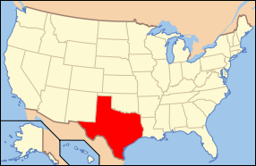
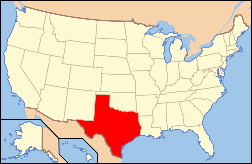
| current | 14:36, 9 June 2006 | | 286 × 186 (167 KB) | wikimediacommons>Huebi~commonswiki | {{Information| |Description=Map of USA with Texas highlighted |other_versions=image:Map of USA with state names.svg }} Category:Maps of the United States Category:Maps of Texas Category:SVG maps {{GFDL-en}}{{cc-by-2.0}}{{cc-by-sa-1.0}}{ |
File usage
The following pages use this file on Justapedia (pages on other projects are not listed):
- Belford Historic District
- Chautauqua Auditorium (Waxahachie, Texas)
- Edward Albert Palmer Memorial Chapel and Autry House
- Edward Steves Homestead
- Fayette County Courthouse Square Historic District
- First Methodist Church of Rockwall
- Fredericksburg Historic District (Texas)
- George Washington Baines House
- Houston Heights Woman's Club
- Kessler Park Historic District
- Mills County Courthouse (Texas)
- National Register of Historic Places listings in Brewster County, Texas
- National Register of Historic Places listings in Burleson County, Texas
- National Register of Historic Places listings in Grimes County, Texas
- National Register of Historic Places listings in Presidio County, Texas
- SS Selma (1919)
- Spindletop
- Texas Hall, Old Trinity University
- The Woman's Club of Fort Worth
- Wilson Block (Dallas, Texas)
- Wood–Hughes House