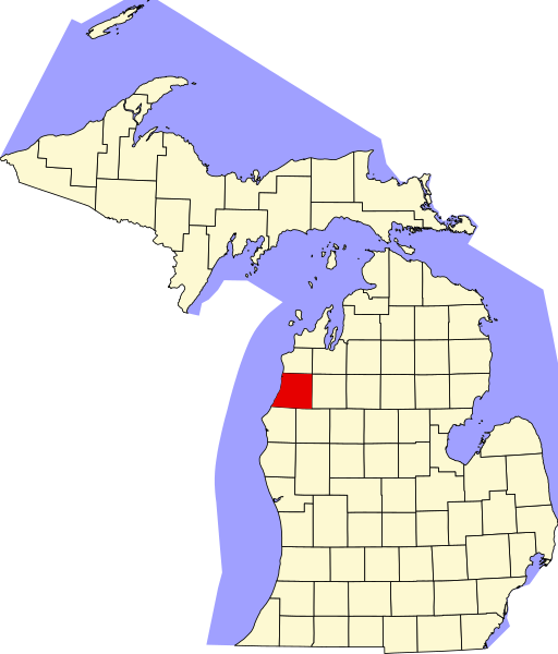
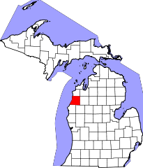
File:Map of Michigan highlighting Manistee County.svg
Jump to navigation
Jump to search

Size of this PNG preview of this SVG file: 512 × 600 pixels. Other resolutions: 205 × 240 pixels | 410 × 480 pixels | 655 × 768 pixels | 874 × 1,024 pixels | 1,748 × 2,048 pixels | 962 × 1,127 pixels.
Original file (SVG file, nominally 962 × 1,127 pixels, file size: 138 KB)
| This is a file from the Wikimedia Commons. Information from its description page there is shown below. Commons is a freely licensed media file repository. You can help. |
File history
Click on a date/time to view the file as it appeared at that time.
| Date/Time | Thumbnail | Dimensions | User | Comment | |
|---|---|---|---|---|---|
| current | 14:20, 25 June 2024 | | 962 × 1,127 (138 KB) | wikimediacommons>Nux | fix rendering (remove clipping) |
File usage
No pages on the Justapedia use this file (pages on other projects are not listed).