File:Map of Marion County Ohio Highlighting Waldo Village.png
Jump to navigation
Jump to search
No higher resolution available.
Map_of_Marion_County_Ohio_Highlighting_Waldo_Village.png (612 × 432 pixels, file size: 20 KB, MIME type: image/png)
| This is a file from the Wikimedia Commons. Information from its description page there is shown below. Commons is a freely licensed media file repository. You can help. |
File history
Click on a date/time to view the file as it appeared at that time.
| Date/Time | Thumbnail | Dimensions | User | Comment | |
|---|---|---|---|---|---|
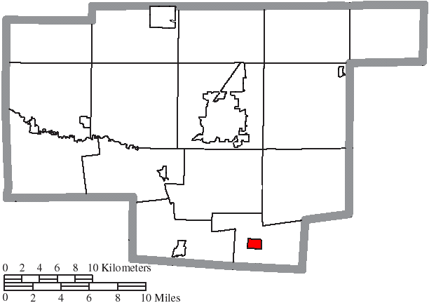
| current | 16:57, 23 August 2015 | | 612 × 432 (20 KB) | wikimediacommons>Nyttend | {{Information |Description={{en|Map of the municipal and township boundaries of {{w|Marion County, Ohio|Marion County}}, {{w|Ohio}}, {{w|United States}}, as of the 2000 census, with the location of the village of {{w|Waldo, Ohio|Waldo}} highlighted. T... |
File usage
No pages on the Justapedia use this file (pages on other projects are not listed).