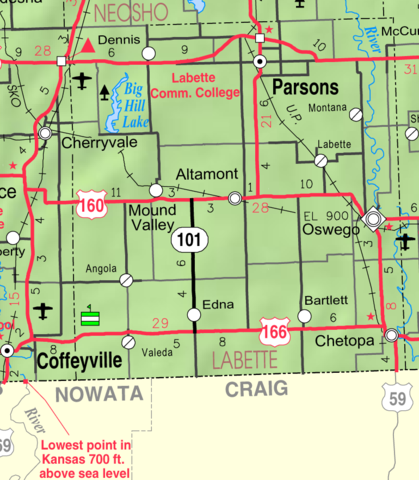
File:Map of Labette Co, Ks, USA.png
Jump to navigation
Jump to search

Size of this preview: 523 × 599 pixels. Other resolutions: 209 × 240 pixels | 419 × 480 pixels | 770 × 882 pixels.
Original file (770 × 882 pixels, file size: 240 KB, MIME type: image/png)
| This is a file from the Wikimedia Commons. Information from its description page there is shown below. Commons is a freely licensed media file repository. You can help. |
File history
Click on a date/time to view the file as it appeared at that time.
| Date/Time | Thumbnail | Dimensions | User | Comment | |
|---|---|---|---|---|---|
| current | 06:19, 27 March 2006 | | 770 × 882 (240 KB) | wikimediacommons>Moverton | Source: Kansas 2005-2006 Official Transportation Map {{PD-US}} |
File usage
No pages on the Justapedia use this file (pages on other projects are not listed).