File:Map of British Guiana (1876).jpg

Original file (3,101 × 4,298 pixels, file size: 6.31 MB, MIME type: image/jpeg)
| This is a file from the Wikimedia Commons. Information from its description page there is shown below. Commons is a freely licensed media file repository. You can help. |
| Date | 1876 | ||||
| Accession number |
British Library HMNTS 010480.ee.41. |
||||
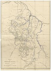
| Source/Photographer |
Image extracted from page 441 of Canoe and Camp Life in British Guiana …, by BROWN, Charles Barrington - the Elder. Original held and digitised by the British Library. Copied from Flickr. Note: The colours, contrast and appearance of these illustrations are unlikely to be true to life. They are derived from scanned images that have been enhanced for machine interpretation and have been altered from their originals.
|
||||
| Permission (Reusing this file) |
|
||||

.jpg)
File history
Click on a date/time to view the file as it appeared at that time.
| Date/Time | Thumbnail | Dimensions | User | Comment | |
|---|---|---|---|---|---|
| current | 20:36, 15 May 2014 | | 3,101 × 4,298 (6.31 MB) | wikimediacommons>Metilsteiner | User created page with UploadWizard |
.jpg)