File:Locator County of Mark (1560).svg
Jump to navigation
Jump to search

Size of this PNG preview of this SVG file: 800 × 530 pixels. Other resolutions: 320 × 212 pixels | 640 × 424 pixels | 1,024 × 678 pixels | 1,280 × 848 pixels | 2,560 × 1,695 pixels | 5,029 × 3,330 pixels.
Original file (SVG file, nominally 5,029 × 3,330 pixels, file size: 575 KB)
| This is a file from the Wikimedia Commons. Information from its description page there is shown below. Commons is a freely licensed media file repository. You can help. |
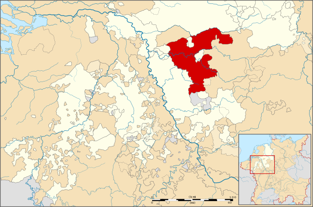
| Description | Locator map of the County of Mark, modernday North Rhine-Westphalia, Germany |
| Date | |
| Source | File:Locator Principality of Stavelot-Malmedy (1560).svg |
| Author | ZH2000 |
| Permission (Reusing this file) |
This file is licensed under the Creative Commons Attribution-Share Alike 3.0 Unported license.
|
| Other versions |
|
.svg)
.svg)
.svg)
.svg)
.svg)
.svg)
.svg)
.svg)
File history
Click on a date/time to view the file as it appeared at that time.
| Date/Time | Thumbnail | Dimensions | User | Comment | |
|---|---|---|---|---|---|
| current | 20:11, 28 April 2011 | | 5,029 × 3,330 (575 KB) | wikimediacommons>ZH2010 | {{Information |Description= Locator map of the County of Mark, modernday North Rhine-Westphalia, Germany |Source= File:Locator Principality of Stavelot-Malmedy (1560).svg |Date=2010-04-28 |Author= ZH2000 |Permission={{cc-by-sa-3.0}} |other_vers |
.svg)
File usage
No pages on the Justapedia use this file (pages on other projects are not listed).
.svg)