File:LitlesotraBildøy.jpg
Jump to navigation
Jump to search
No higher resolution available.
LitlesotraBildøy.jpg (417 × 600 pixels, file size: 154 KB, MIME type: image/jpeg)
| This is a file from the Wikimedia Commons. Information from its description page there is shown below. Commons is a freely licensed media file repository. You can help. |
| Description |
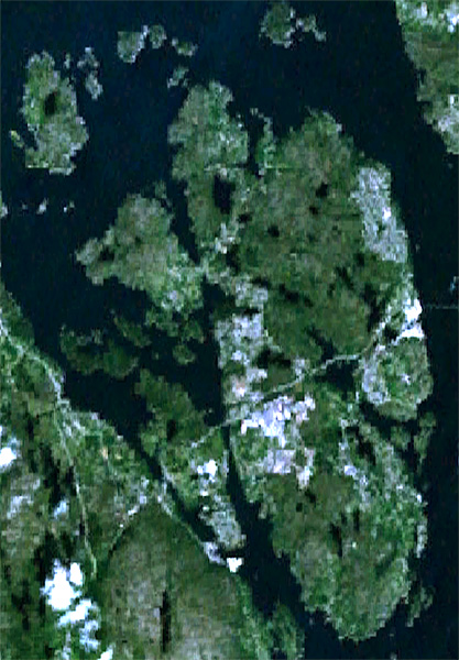
English: Satellite image of the islands of Litlesotra (far right) and Bildøy (center) and part of Sotre Sotra (far left) in Fjell municipality, Hordaland, Norway. |
| Date | Unknown date |
| Source | NASA World Wind screenshot |
| Author | NASA (edited by Aqwis) |
| This image is in the public domain because it is a screenshot from NASA’s globe software World Wind using a public domain layer, such as Blue Marble, MODIS, Landsat, SRTM, USGS or GLOBE.
|
 |
File history
Click on a date/time to view the file as it appeared at that time.
| Date/Time | Thumbnail | Dimensions | User | Comment | |
|---|---|---|---|---|---|
| current | 03:09, 30 December 2008 | | 417 × 600 (154 KB) | wikimediacommons>Aqwis | {{Information |Description={{en|Satellite image of the islands of Litlesotra (far right) and Bildøy (center) and part of Sotre Sotra (far left) in Fjell municipality, Hordaland, [[N |
File usage
No pages on the Justapedia use this file (pages on other projects are not listed).