File:Lime Rock Park.svg
Jump to navigation
Jump to search

Size of this PNG preview of this SVG file: 619 × 415 pixels. Other resolutions: 320 × 215 pixels | 640 × 429 pixels | 1,024 × 687 pixels | 1,280 × 858 pixels | 2,560 × 1,716 pixels.
Original file (SVG file, nominally 619 × 415 pixels, file size: 459 KB)
| This is a file from the Wikimedia Commons. Information from its description page there is shown below. Commons is a freely licensed media file repository. You can help. |
Summary
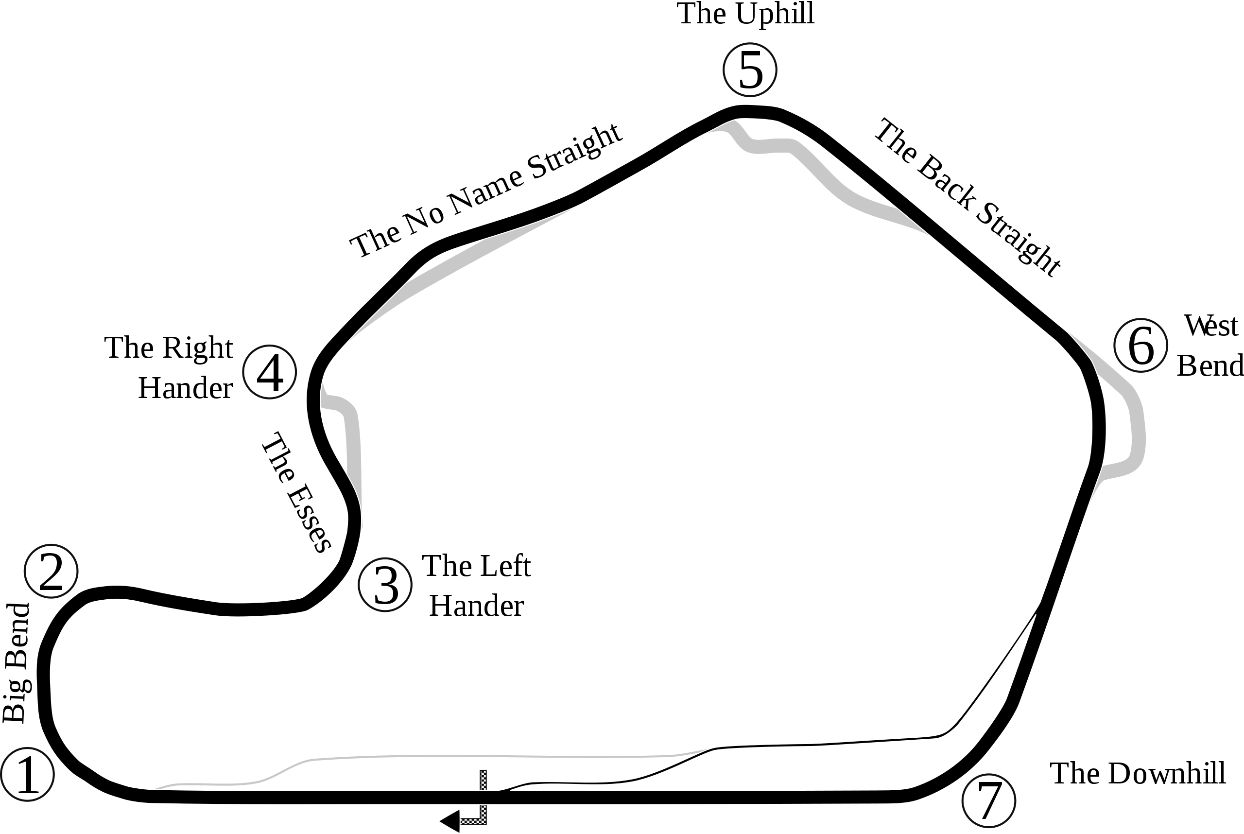
| Description | Track map of Lime Rock Park in Lakeville |
| Source | Own work |
| Author | Will Pittenger |
| Other versions |
 |
| Camera location | | View this and other nearby images on: OpenStreetMap |
|---|
Licensing
| I, the copyright holder of this work, release this work into the public domain. This applies worldwide. In some countries this may not be legally possible; if so: I grant anyone the right to use this work for any purpose, without any conditions, unless such conditions are required by law. |
File history
Click on a date/time to view the file as it appeared at that time.
| Date/Time | Thumbnail | Dimensions | User | Comment | |
|---|---|---|---|---|---|
| current | 03:55, 18 July 2008 | | 619 × 415 (459 KB) | wikimediacommons>Will Pittenger | Still another version that rms old name |
File usage
No pages on the Justapedia use this file (pages on other projects are not listed).