File:Likouala districts.png
Jump to navigation
Jump to search

Size of this preview: 776 × 600 pixels. Other resolutions: 311 × 240 pixels | 621 × 480 pixels | 994 × 768 pixels | 1,056 × 816 pixels.
Original file (1,056 × 816 pixels, file size: 26 KB, MIME type: image/png)
| This is a file from the Wikimedia Commons. Information from its description page there is shown below. Commons is a freely licensed media file repository. You can help. |
Summary
| Description |
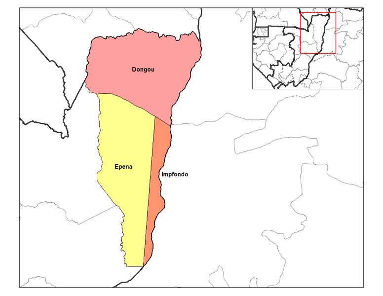
English: Map of the districts of Likouala region in the Republic of the Congo. Created by Rarelibra 14:27, 12 September 2006 (UTC) for public domain use, using MapInfo Professional v8.5 and various mapping resources. |
| Date | 12 September 2006 (original upload date) |
| Source | Own work |
| Author | Rarelibra at English Wikipedia |
Licensing
| This work has been released into the public domain by its author, Rarelibra at English Wikipedia. This applies worldwide. In some countries this may not be legally possible; if so: Rarelibra grants anyone the right to use this work for any purpose, without any conditions, unless such conditions are required by law. |
Original upload log
The original description page was here. All following user names refer to en.wikipedia.
- 2006-09-12 14:27 Rarelibra 1056×816 (26676 bytes) Map of the districts of Likouala region in the Republic of the Congo. Created by ~~~~ for public domain use, using MapInfo Professional v8.5 and various mapping resources.
File history
Click on a date/time to view the file as it appeared at that time.
| Date/Time | Thumbnail | Dimensions | User | Comment | |
|---|---|---|---|---|---|
| current | 18:42, 29 January 2012 | | 1,056 × 816 (26 KB) | wikimediacommons>BotMultichillT | {{BotMoveToCommons|en.wikipedia|year={{subst:CURRENTYEAR}}|month={{subst:CURRENTMONTHNAME}}|day={{subst:CURRENTDAY}}}} == {{int:filedesc}} == {{Information |description={{en|1=Map of the districts of Likouala region in the Republic of the Congo. Created |
File usage
No pages on the Justapedia use this file (pages on other projects are not listed).