File:Kodakara-Jima Island Aerial Photograph.jpg
Jump to navigation
Jump to search

Size of this preview: 800 × 576 pixels. Other resolutions: 320 × 231 pixels | 640 × 461 pixels | 1,024 × 738 pixels | 1,280 × 922 pixels | 2,632 × 1,896 pixels.
Original file (2,632 × 1,896 pixels, file size: 1.1 MB, MIME type: image/jpeg)
| This is a file from the Wikimedia Commons. Information from its description page there is shown below. Commons is a freely licensed media file repository. You can help. |
Summary
| Description |
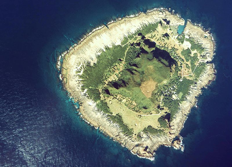
English: Kodakara-Jima Island Aerial Photograph
日本語: 小宝島の空中写真。cku-78-3_c18_2を使用。 |
| Date | |
| Source | 国土情報ウェブマッピングシステム |
| Author | 国土交通省 |
Licensing

|
The copyright holder of this file, the Ministry of Land, Infrastructure, Transport and Tourism of Japan, allows anyone to use it for any purpose, provided that the copyright holder is properly attributed. Redistribution, derivative work, commercial use, and all other use is permitted. |
Attribution:
Copyright © National Land Image Information (Color Aerial Photographs), Ministry of Land, Infrastructure, Transport and Tourism
|
 |
This image is copyrighted by the Ministry of Land, Infrastructure, Transport and Tourism of Japan. For terms of use, see the stipulation to use of National Land Information (in Japanese) and message from MLIT (in Japanese and English). When you display this image on an article, include the following phrase in the description: "Made based on National Land Image Information (Color Aerial Photographs), Ministry of Land, Infrastructure, Transport and Tourism".
|
File history
Click on a date/time to view the file as it appeared at that time.
| Date/Time | Thumbnail | Dimensions | User | Comment | |
|---|---|---|---|---|---|
| current | 09:22, 10 September 2012 | | 2,632 × 1,896 (1.1 MB) | wikimediacommons>さかおり | {{Information |Description ={{en|1=Kodakara-Jima Island Aerial Photograph}} {{ja|1=小宝島の空中写真。cku-78-3_c18_2を使用。}} |Source =国土情報ウェブマッピングシステム |Author =国土交通省 |Date ... |
File usage
No pages on the Justapedia use this file (pages on other projects are not listed).