File:Ironjaw Lake Topo.jpg
Jump to navigation
Jump to search
No higher resolution available.
Ironjaw_Lake_Topo.jpg (732 × 525 pixels, file size: 293 KB, MIME type: image/jpeg)
| This is a file from the Wikimedia Commons. Information from its description page there is shown below. Commons is a freely licensed media file repository. You can help. |
File history
Click on a date/time to view the file as it appeared at that time.
| Date/Time | Thumbnail | Dimensions | User | Comment | |
|---|---|---|---|---|---|
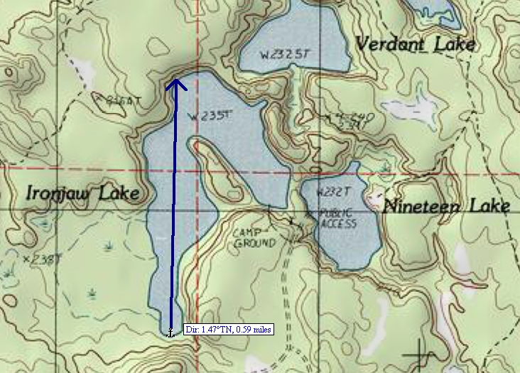
| current | 02:27, 1 December 2008 | | 732 × 525 (293 KB) | wikimediacommons>MJCdetroit | {{Information |Description={{en|1=A cropped portion of the USGS Corner Lake quadrangle topo map. 1982 version; current: 1985}} |Source=USGS Quadrangle map for Corner Lake, MI version 1982; current as of 1985 |Author=USGS |Date=1982 |Permission= |other_ve |
File usage
No pages on the Justapedia use this file (pages on other projects are not listed).