File:Inverclyde UK location map.svg
Jump to navigation
Jump to search

Size of this PNG preview of this SVG file: 614 × 600 pixels. Other resolutions: 246 × 240 pixels | 491 × 480 pixels | 786 × 768 pixels | 1,048 × 1,024 pixels | 2,097 × 2,048 pixels | 1,417 × 1,384 pixels.
Original file (SVG file, nominally 1,417 × 1,384 pixels, file size: 790 KB)
| This is a file from the Wikimedia Commons. Information from its description page there is shown below. Commons is a freely licensed media file repository. You can help. |
File history
Click on a date/time to view the file as it appeared at that time.
| Date/Time | Thumbnail | Dimensions | User | Comment | |
|---|---|---|---|---|---|
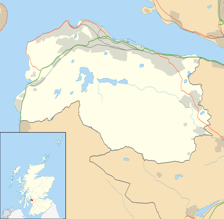
| current | 00:17, 27 September 2010 | | 1,417 × 1,384 (790 KB) | wikimediacommons>Nilfanion | {{Information |Description=Blank map of Inverclyde, UK with the following information shown: *Administrative borders *Coastline, lakes and rivers *Roads and railways *Urban areas Equirectangular map projection on WGS 84 datum, with N/S s |
File usage
No pages on the Justapedia use this file (pages on other projects are not listed).