File:Hood River OR - OpenStreetMap.png
Jump to navigation
Jump to search
Size of this preview: 800 × 544 pixels. Other resolutions: 320 × 218 pixels | 640 × 435 pixels | 995 × 677 pixels.
Original file (995 × 677 pixels, file size: 334 KB, MIME type: image/png)
| This is a file from the Wikimedia Commons. Information from its description page there is shown below. Commons is a freely licensed media file repository. You can help. |
| Description |
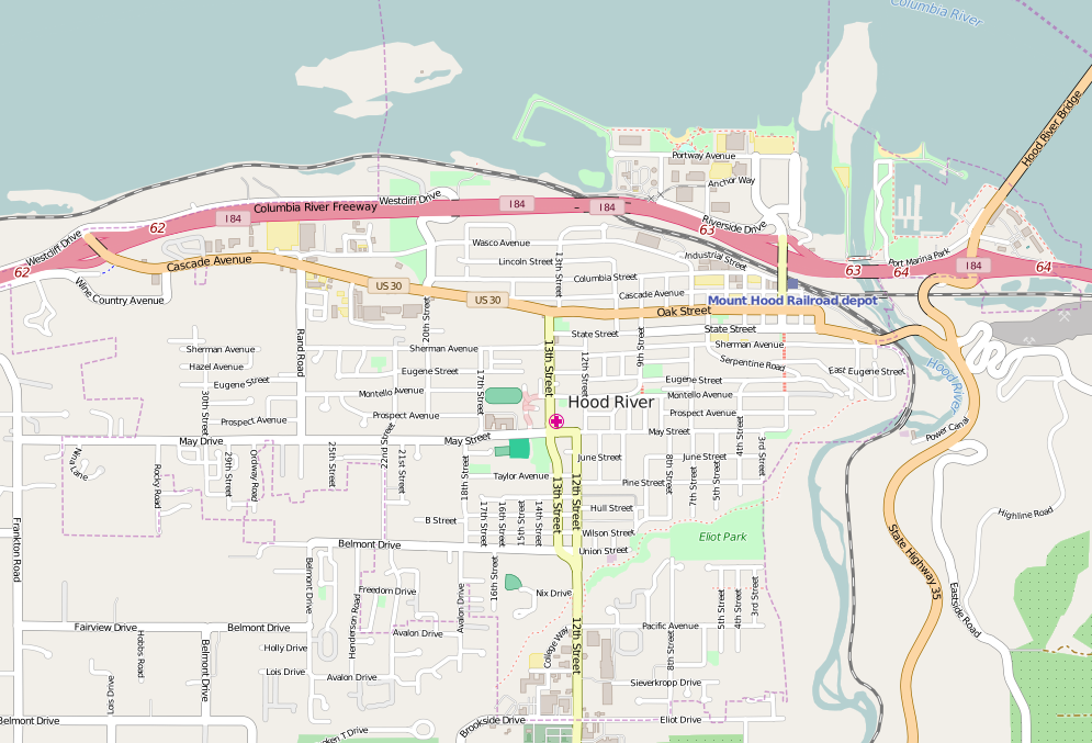
Map of Gresham Oregon. This map of Hood_River_OR was created from OpenStreetMap project data, collected by the community. This map may be incomplete, and may contain errors. Don't rely solely on it for navigation. |
|||||||||
| Date | ||||||||||
| Source | You may find a page on the OpenStreetMap wiki page for Hood_River_OR | |||||||||
| Creator |
OpenStreetMap contributors OpenStreetMap contributors |
|||||||||
| Permission (Reusing this file) |
OpenStreetMap data is available under the Open Database License (details). Map tiles are licensed under the Creative Commons Attribution-ShareAlike 2.0 license (CC-BY-SA 2.0).
This file is licensed under the Creative Commons Attribution-Share Alike 2.0 Generic license.
|
|||||||||
| Geotemporal data | ||||||||||
| Bounding box |
|
|||||||||
| Georeferencing | If inappropriate please set warp_status = skip to hide. | |||||||||
File history
Click on a date/time to view the file as it appeared at that time.
| Date/Time | Thumbnail | Dimensions | User | Comment | |
|---|---|---|---|---|---|
| current | 20:25, 14 April 2016 | | 995 × 677 (334 KB) | wikimediacommons>Tagishsimon | {{OpenStreetMap | name = Hood_River_OR | location = Hood_River_OR | description = Map of Gresham Oregon. | top = 45.7209 | bottom = 45.6921 | left = -121.5557 | right = -121.4951 | date... |
File usage
No pages on the Justapedia use this file (pages on other projects are not listed).