File:Historical map series for the area of Bayt Nuba (1940s with modern overlay).jpg
Jump to navigation
Jump to search
Size of this preview: 597 × 599 pixels. Other resolutions: 239 × 240 pixels | 478 × 480 pixels | 739 × 742 pixels.
Original file (739 × 742 pixels, file size: 286 KB, MIME type: image/jpeg)
| This is a file from the Wikimedia Commons. Information from its description page there is shown below. Commons is a freely licensed media file repository. You can help. |
.jpg)
File history
Click on a date/time to view the file as it appeared at that time.
| Date/Time | Thumbnail | Dimensions | User | Comment | |
|---|---|---|---|---|---|
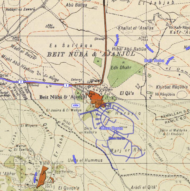
| current | 11:42, 27 July 2020 | | 739 × 742 (286 KB) | wikimediacommons>Onceinawhile | Uploaded a work by Sources for historical series of maps as follows: * PEF Survey of Palestine * Survey of Palestine Overlay from [https://palopenmaps.org Palestine Open Maps] * OpenStreetMap from Sources for historical series of maps as follows: * PEF Survey of Palestine * Survey of Palestine Overlay from [https://palopenmaps.org Palestine Open Maps] * [... |
File usage
No pages on the Justapedia use this file (pages on other projects are not listed).
.jpg)