File:Helsingfors Map 1776-1777.png
Jump to navigation
Jump to search
Size of this preview: 476 × 599 pixels. Other resolutions: 191 × 240 pixels | 381 × 480 pixels | 610 × 768 pixels | 813 × 1,024 pixels | 1,626 × 2,048 pixels | 2,786 × 3,508 pixels.
Original file (2,786 × 3,508 pixels, file size: 18.32 MB, MIME type: image/png)
| This is a file from the Wikimedia Commons. Information from its description page there is shown below. Commons is a freely licensed media file repository. You can help. |
File history
Click on a date/time to view the file as it appeared at that time.
| Date/Time | Thumbnail | Dimensions | User | Comment | |
|---|---|---|---|---|---|
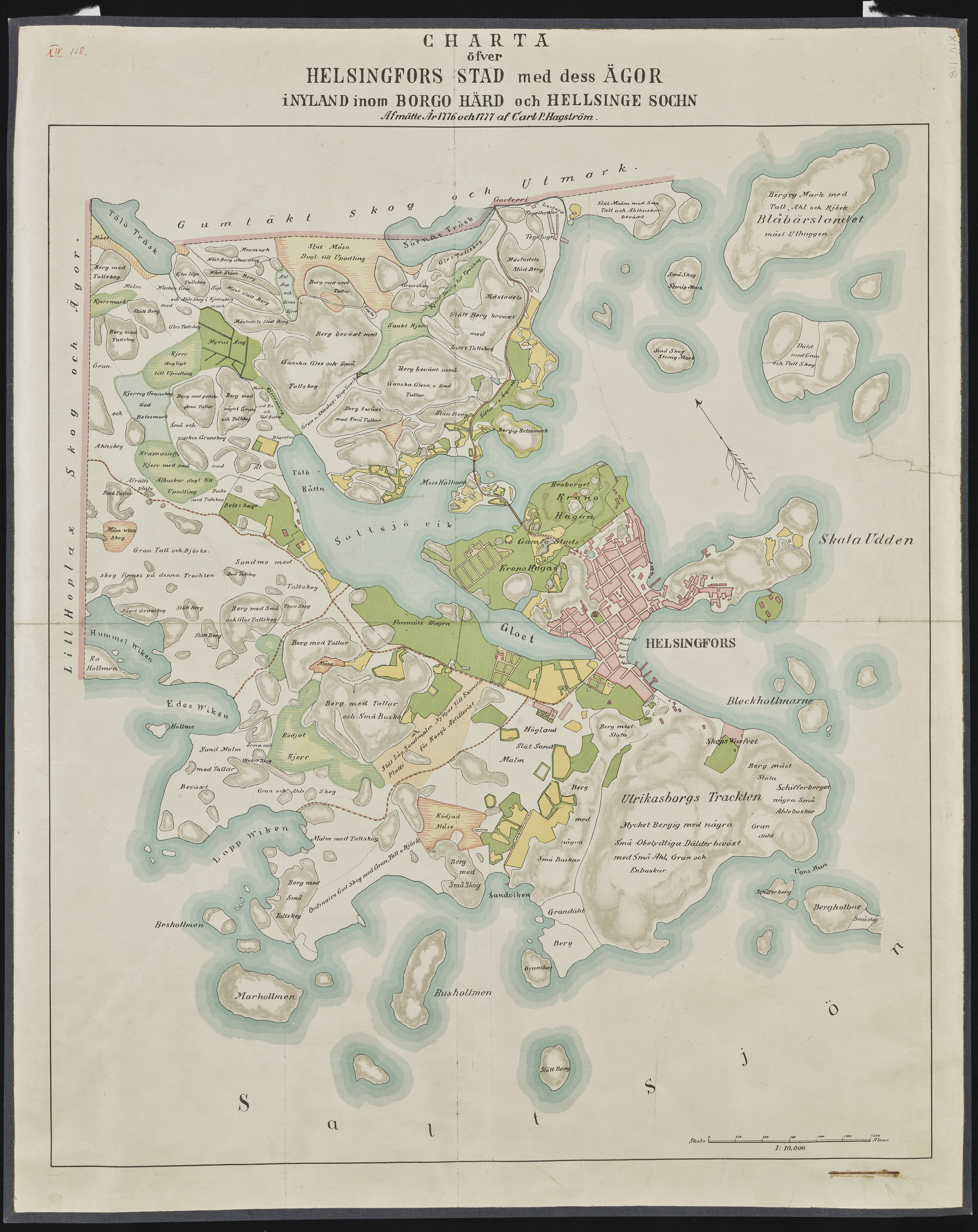
| current | 13:27, 27 October 2020 | | 2,786 × 3,508 (18.32 MB) | wikimediacommons>Robertsilen | Uploaded a work by Map drawn by Carl P. Hagström (1776-1777), digitalized by Nurmi Juho (HKM 2014) from Helsinki City Museum, Helsingfors stadsmuseum, Helsingin kaupunginmuseo with UploadWizard |
File usage
No pages on the Justapedia use this file (pages on other projects are not listed).