File:Georgia location map.svg
Jump to navigation
Jump to search

Size of this PNG preview of this SVG file: 800 × 426 pixels. Other resolutions: 320 × 170 pixels | 640 × 341 pixels | 1,024 × 545 pixels | 1,280 × 681 pixels | 2,560 × 1,363 pixels | 1,715 × 913 pixels.
Original file (SVG file, nominally 1,715 × 913 pixels, file size: 141 KB)
| This is a file from the Wikimedia Commons. Information from its description page there is shown below. Commons is a freely licensed media file repository. You can help. |
Summary
| Description |
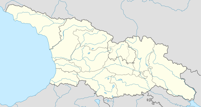
Deutsch: Positionskarte von Georgien
Quadratische Plattkarte, N-S-Streckung 135 %. Geographische Begrenzung der Karte:
English: Location map of Georgia
Equirectangular projection, N/S stretching 135 %. Geographic limits of the map:
|
| Date | |
| Source |
Own work, using
|
| Author | NordNordWest |
| Permission (Reusing this file) |
I, the copyright holder of this work, hereby publish it under the following license: This file is licensed under the Creative Commons Attribution-Share Alike 3.0 Unported license.
|
| Other versions |
|


File history
Click on a date/time to view the file as it appeared at that time.
| Date/Time | Thumbnail | Dimensions | User | Comment | |
|---|---|---|---|---|---|
| current | 14:13, 28 October 2018 | | 1,715 × 913 (141 KB) | wikimediacommons>NordNordWest | Reverted to version as of 11:58, 25 May 2013 (UTC), COM:OVERWRITE |
File usage
No pages on the Justapedia use this file (pages on other projects are not listed).