File:Finland national road 55.png
Jump to navigation
Jump to search
Size of this preview: 341 × 600 pixels. Other resolutions: 136 × 240 pixels | 455 × 800 pixels.
Original file (455 × 800 pixels, file size: 109 KB, MIME type: image/png)
| This is a file from the Wikimedia Commons. Information from its description page there is shown below. Commons is a freely licensed media file repository. You can help. |
Summary
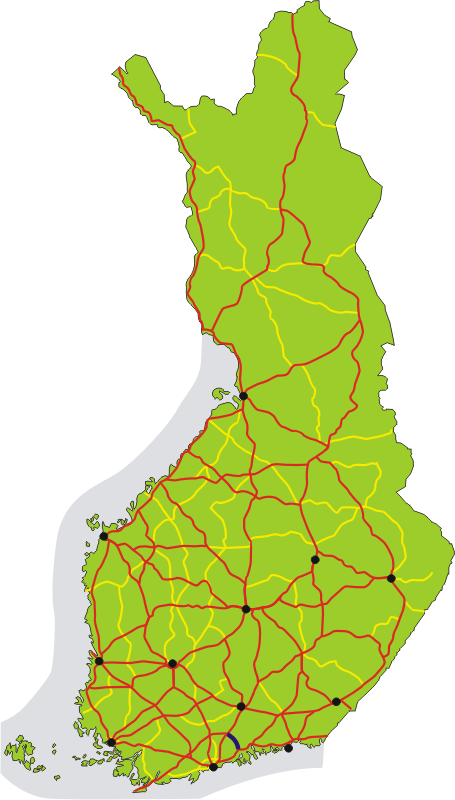
| Description | Map of main road 55 in Finland, shown in dark blue. Roads number 1-29 are red, 40-98 yellow. Black dots show the 12 biggest urban areas. |
| Date | |
| Source | Own work |
| Author | Migro |
Licensing
| I, the copyright holder of this work, release this work into the public domain. This applies worldwide. In some countries this may not be legally possible; if so: I grant anyone the right to use this work for any purpose, without any conditions, unless such conditions are required by law. |
File history
Click on a date/time to view the file as it appeared at that time.
| Date/Time | Thumbnail | Dimensions | User | Comment | |
|---|---|---|---|---|---|
| current | 20:25, 2 July 2007 | | 455 × 800 (109 KB) | wikimediacommons>Migro | == Summary == {{Information |Description=Map of main road 55 in Finland, shown in dark blue. Roads number 1-29 are red, 40-98 yellow. Black dots show the 12 biggest urban areas. |Source=self-made |Date=2007-07-02 |Author= Migro }} [[Categ |
File usage
No pages on the Justapedia use this file (pages on other projects are not listed).