File:East Link map with stations.png
Jump to navigation
Jump to search

Size of this preview: 800 × 473 pixels. Other resolutions: 320 × 189 pixels | 640 × 379 pixels | 1,024 × 606 pixels | 1,280 × 757 pixels | 2,538 × 1,501 pixels.
Original file (2,538 × 1,501 pixels, file size: 1.59 MB, MIME type: image/png)
| This is a file from the Wikimedia Commons. Information from its description page there is shown below. Commons is a freely licensed media file repository. You can help. |
Summary
| Description |
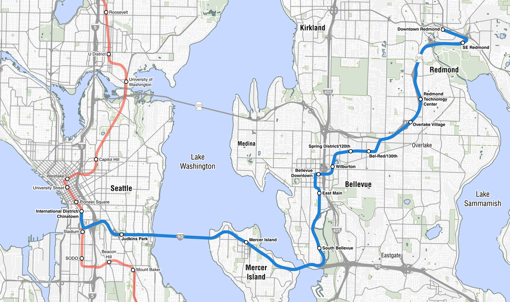
English: A map of the East Link Extension, an under construction Link light rail line that will connect Seattle to its eastern suburbs. |
| Date | |
| Source |
GIS data:
Highway shields:
|
| Author | SounderBruce |
Licensing
I, the copyright holder of this work, hereby publish it under the following license:
This file is licensed under the Creative Commons Attribution-Share Alike 4.0 International license.
- You are free:
- to share – to copy, distribute and transmit the work
- to remix – to adapt the work
- Under the following conditions:
- attribution – You must give appropriate credit, provide a link to the license, and indicate if changes were made. You may do so in any reasonable manner, but not in any way that suggests the licensor endorses you or your use.
- share alike – If you remix, transform, or build upon the material, you must distribute your contributions under the same or compatible license as the original.
File history
Click on a date/time to view the file as it appeared at that time.
| Date/Time | Thumbnail | Dimensions | User | Comment | |
|---|---|---|---|---|---|
| current | 06:37, 7 February 2018 | | 2,538 × 1,501 (1.59 MB) | wikimediacommons>SounderBruce | Less prominent location labels |
File usage
No pages on the Justapedia use this file (pages on other projects are not listed).