File:Cerro Azul Formation outcrop map.png
Jump to navigation
Jump to search

Size of this preview: 800 × 584 pixels. Other resolutions: 320 × 234 pixels | 640 × 468 pixels | 1,024 × 748 pixels | 1,280 × 935 pixels | 2,560 × 1,870 pixels | 3,210 × 2,345 pixels.
Original file (3,210 × 2,345 pixels, file size: 569 KB, MIME type: image/png)
| This is a file from the Wikimedia Commons. Information from its description page there is shown below. Commons is a freely licensed media file repository. You can help. |
Summary
| Description |
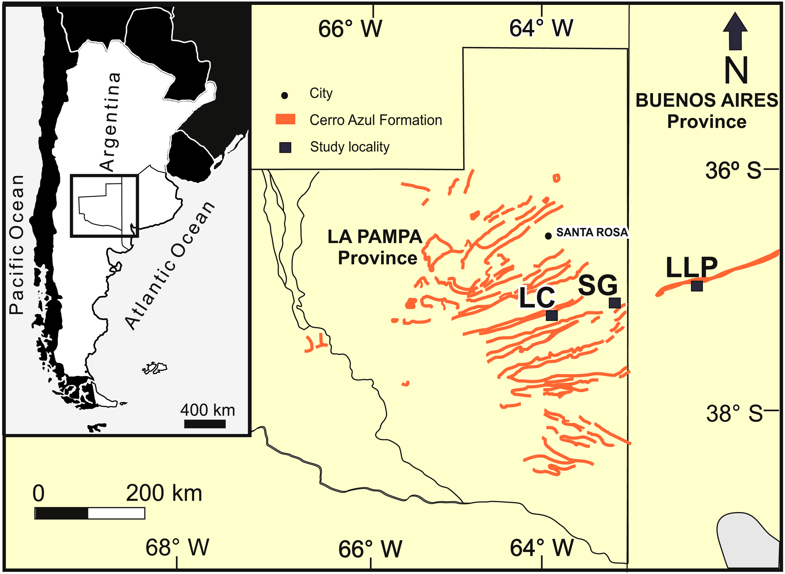
English: Cerro Azul Formation outcrop map |
| Date | |
| Source | Cardonatto, M. C. (2018). "Large mammal burrows in late Miocene calcic paleosols from central Argentina: paleoenvironment, taphonomy and producers". PeerJ 6: e4787. Retrieved on 2020-08-13. |
| Author | Cardonatto and Melchor, 2018 |
Licensing
This file is licensed under the Creative Commons Attribution 4.0 International license.
- You are free:
- to share – to copy, distribute and transmit the work
- to remix – to adapt the work
- Under the following conditions:
- attribution – You must give appropriate credit, provide a link to the license, and indicate if changes were made. You may do so in any reasonable manner, but not in any way that suggests the licensor endorses you or your use.

|
This file, which was originally posted to an external website, has not yet been reviewed by an administrator or reviewer to confirm that the above license is valid. See Category:License review needed for further instructions.
|
File history
Click on a date/time to view the file as it appeared at that time.
| Date/Time | Thumbnail | Dimensions | User | Comment | |
|---|---|---|---|---|---|
| current | 01:02, 22 September 2020 | | 3,210 × 2,345 (569 KB) | wikimediacommons>Tisquesusa | Uploaded a work by Cardonatto and Melchor, 2018 from {{cite journal |last=Cardonatto |first=M. C. |first2=R. N. |last2=Melchor |year=2018 |title=Large mammal burrows in late Miocene calcic paleosols from central Argentina: paleoenvironment, taphonomy and producers |url=https://peerj.com/articles/4787/ |journal=PeerJ |volume=6 |pages=e4787 |accessdate=2020-08-13}} with UploadWizard |
File usage
No pages on the Justapedia use this file (pages on other projects are not listed).