File:C71072s1 Ant.Map Beethoven Peninsula.jpg
Jump to navigation
Jump to search
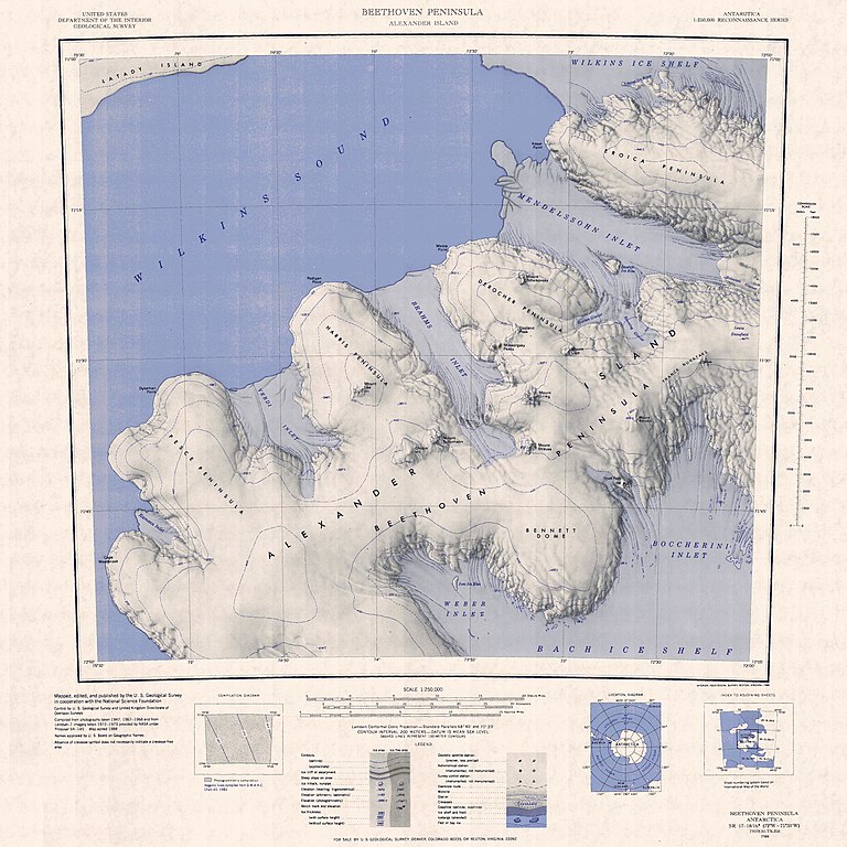
Size of this preview: 600 × 600 pixels. Other resolutions: 240 × 240 pixels | 480 × 480 pixels | 768 × 768 pixels | 1,024 × 1,024 pixels | 2,048 × 2,048 pixels | 3,104 × 3,104 pixels.
Original file (3,104 × 3,104 pixels, file size: 1.25 MB, MIME type: image/jpeg)
| This is a file from the Wikimedia Commons. Information from its description page there is shown below. Commons is a freely licensed media file repository. You can help. |
Summary
| Description |
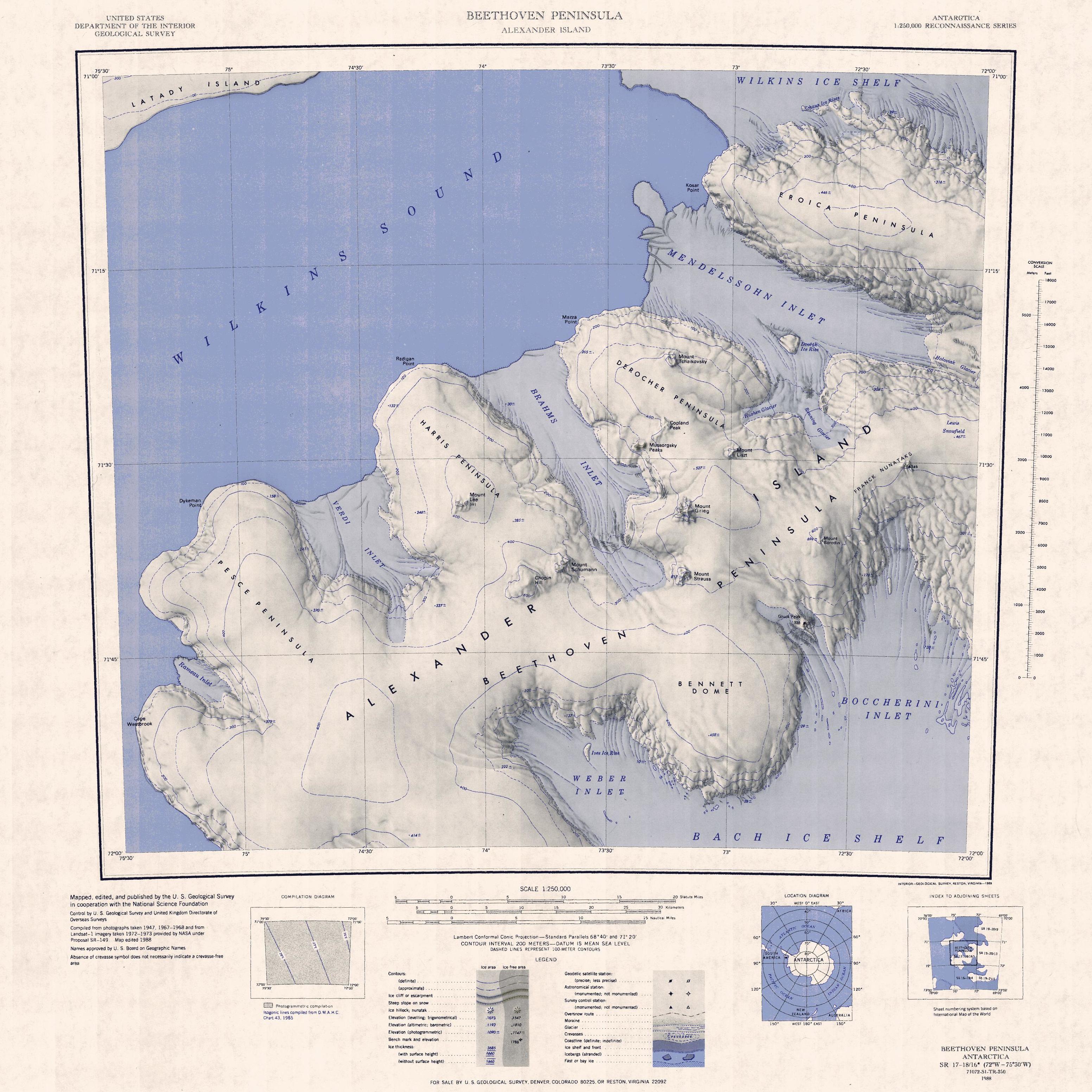
English: 1:250,000-scale topographic reconnaissance map of the Beethoven Peninsula area of Alexander Island from 72°-75°30'W to 71°-72°S in Antarctica. Mapped, edited and published by the U.S. Geological Survey in cooperation with the National Science Foundation. |
|||
| Date | ||||
| Source | http://usarc.usgs.gov/drg_dload.shtml | |||
| Author | United States Geological Survey | |||
| Permission (Reusing this file) |
|
File history
Click on a date/time to view the file as it appeared at that time.
| Date/Time | Thumbnail | Dimensions | User | Comment | |
|---|---|---|---|---|---|
| current | 07:53, 3 November 2021 | | 3,104 × 3,104 (1.25 MB) | wikimediacommons>User-duck | Cropped and rotated using CropTool with precise mode. |
File usage
The following pages use this file on Justapedia (pages on other projects are not listed):