File:Australia Northern Territory location map blank.svg
Jump to navigation
Jump to search

Size of this PNG preview of this SVG file: 431 × 599 pixels. Other resolutions: 172 × 240 pixels | 345 × 480 pixels | 552 × 768 pixels | 736 × 1,024 pixels | 1,473 × 2,048 pixels | 1,134 × 1,577 pixels.
Original file (SVG file, nominally 1,134 × 1,577 pixels, file size: 493 KB)
| This is a file from the Wikimedia Commons. Information from its description page there is shown below. Commons is a freely licensed media file repository. You can help. |
| Description |
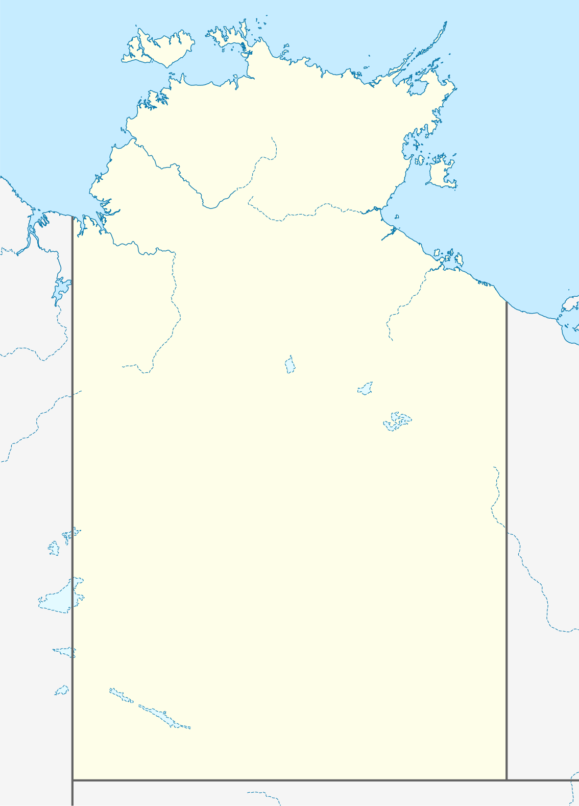
Quadratische Plattkarte, N-S-Streckung 105 %. Geographische Begrenzung der Karte:
Equirectangular projection, N/S stretching 105 %. Geographic limits of the map:
|
|
| Date | (UTC) | |
| Source |
|
|
| Author |
|
|
| Permission (Reusing this file) |
This file is licensed under the Creative Commons Attribution-Share Alike 3.0 Germany license.
 |


|
This map has been made or improved in the German Kartenwerkstatt (Map Lab). You can propose maps to improve as well.
|
I, the copyright holder of this work, hereby publish it under the following license:
This file is licensed under the Creative Commons Attribution-Share Alike 3.0 Unported license.
- You are free:
- to share – to copy, distribute and transmit the work
- to remix – to adapt the work
- Under the following conditions:
- attribution – You must give appropriate credit, provide a link to the license, and indicate if changes were made. You may do so in any reasonable manner, but not in any way that suggests the licensor endorses you or your use.
- share alike – If you remix, transform, or build upon the material, you must distribute your contributions under the same or compatible license as the original.
Original upload log
This image is a derivative work of the following images:
- 2009-12-18T16:37:07Z NordNordWest 1134x1577 (546267 Bytes) =={{int:filedesc}}== {{Information |Description= {{de|Positionskarte des [[:de:Northern Territory|Northern Territory]], [[:de:Australien|Australien]]}} Quadratische Plattkarte, N-S-Streckung 105 %. Geographische Begrenzung de
Uploaded with derivativeFX
File history
Click on a date/time to view the file as it appeared at that time.
| Date/Time | Thumbnail | Dimensions | User | Comment | |
|---|---|---|---|---|---|
| current | 05:38, 10 April 2010 | | 1,134 × 1,577 (493 KB) | wikimediacommons>Roke~commonswiki | {{Information |Description={{de|Positionskarte des Northern Territory, Australien}} Quadratische Plattkarte, N-S-Streckung 105 %. Geographische Begrenzung der Karte: * N: 10.6° S * S: 26.5° S * W: 127.5° O |
File usage
No pages on the Justapedia use this file (pages on other projects are not listed).